
Winter Storm Warning expires at 1 PM…
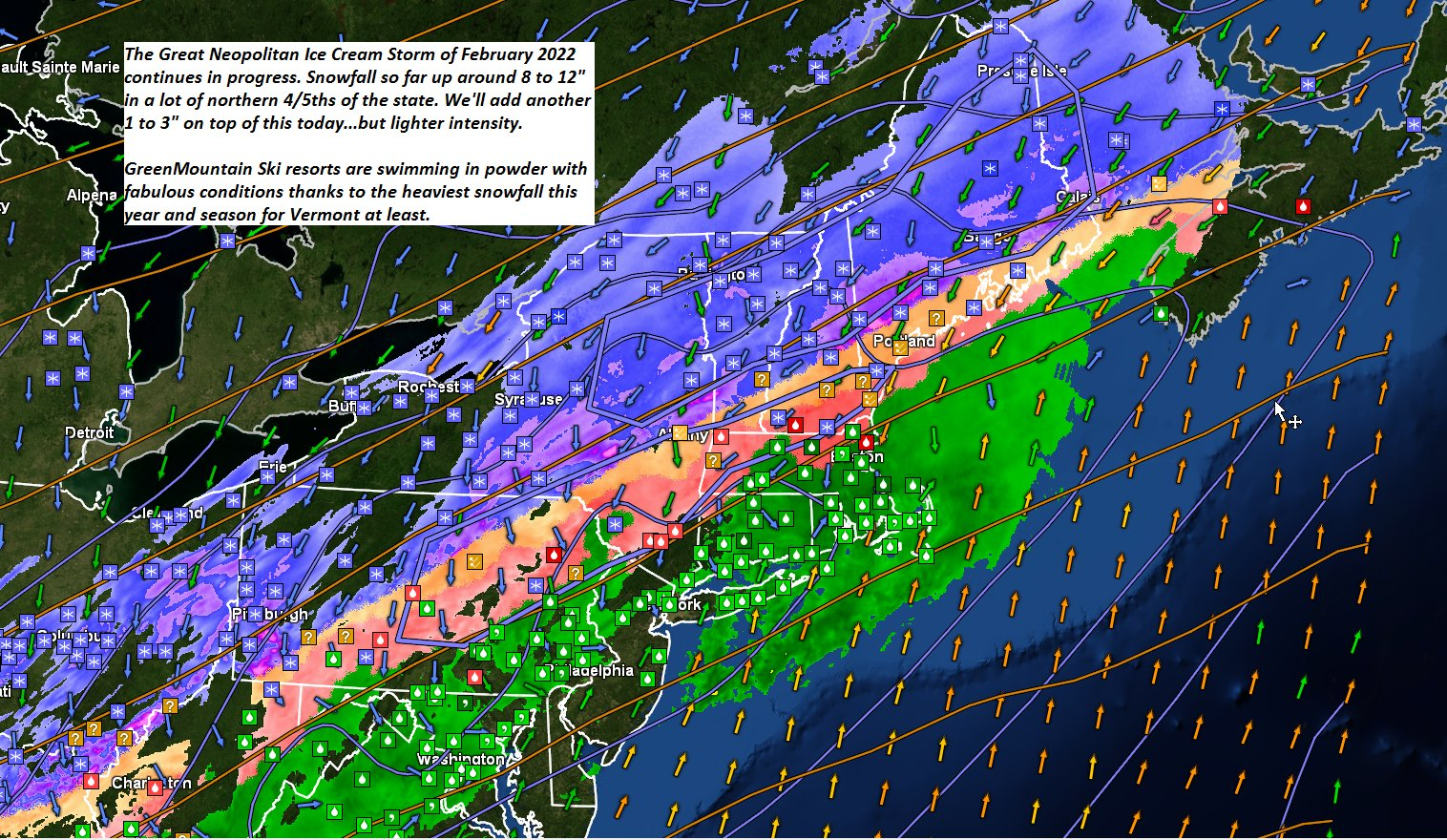
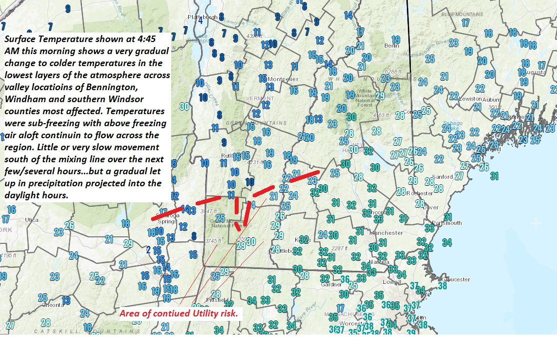
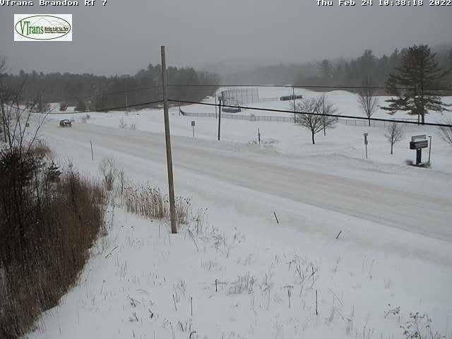
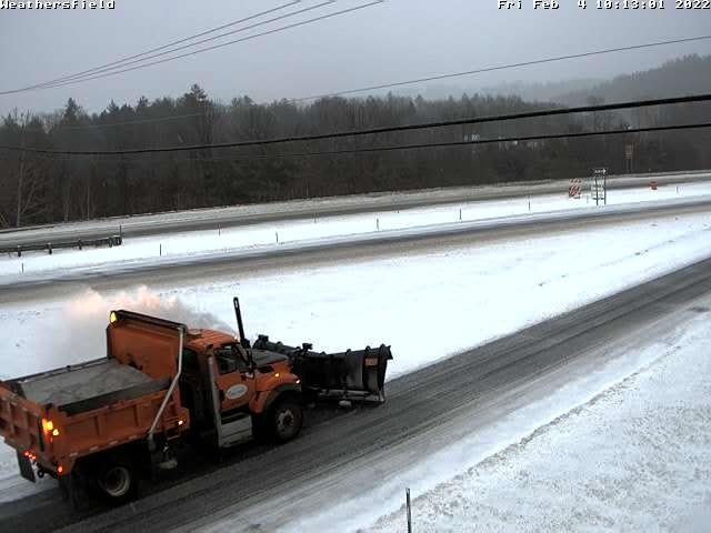
TODAY: Gray. Accumulating light snow likely. Additional 1 to 3” with snow coated roads. A messy mix with glazing Bennington into southern Windsor and Windham counties with sleet and freezing rain before gradually changing to snow. Total storm snowfall…8 to 15”. A high 15 to 20. Light north winds about 10 mph western Vermont.
TONIGHT: Becoming partly to mostly cloudy. Scattered snow showers or flurries exiting overnight, dusting to a fluffy inch. Colder. A low zero to 5 above. Light northwest winds.
SATURDAY: Morning clouds with an early mountain flurry exiting, then increasingly sunny. Blustery at times in the afternoon and cold. A high upper single digits northern areas…to 10 to 15 otherwise. Northwest winds pick up 10 to 15 mph with cold wind chills.
Looking further ahead…
SATURDAY NIGHT: Mostly clear and frigid. A low 5 to 15 below.
SUNDAY: More sun than clouds but cloudy periods northern areas. A high mid-teens to low 20s.
MONDAY: Mostly cloudy. Chance for a flurry or two. A low 5 to 15 above. A high in the mid-20s.
TUESDAY: Partly to mostly cloudy. A low zero to 10 above. A high near 35.
WEDNESDAY: Partly to mostly sunny. A low 10 to 15. A high in the mid to upper 30s.
Average lows 5 to 15. Average highs ranging mid-20s to low 30s.
End of Met. Winter March 9th
RH/2-3 forecast][end]
