
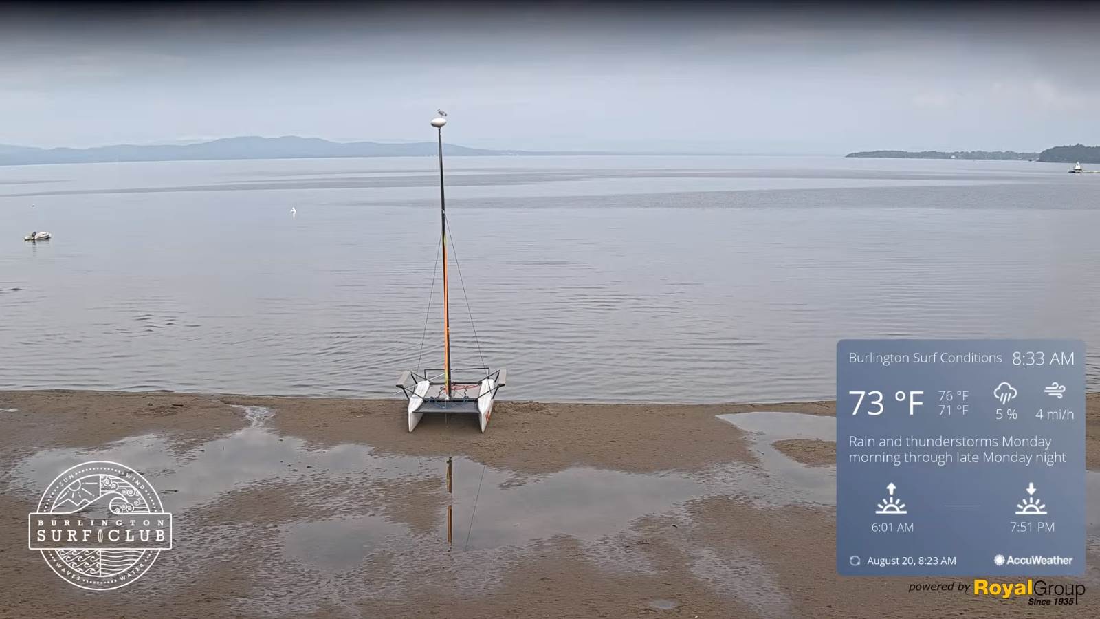
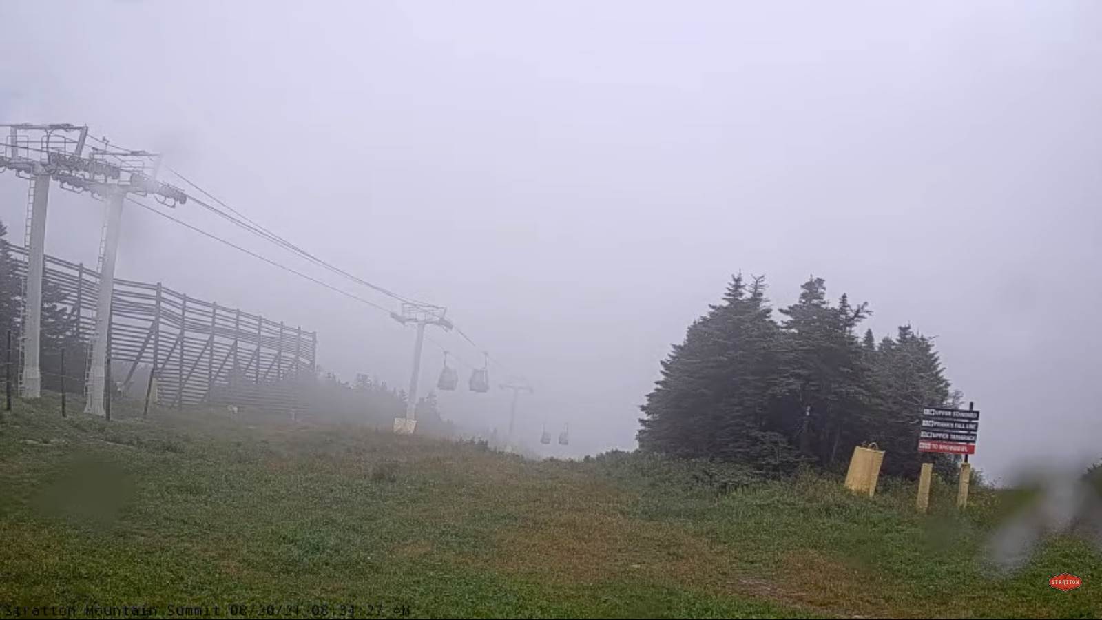
TODAY: Clouds mixing with intervals of sun after morning fog. Warm and sticky with a high around 80. Light northwest winds.
TONIGHT: Mostly cloudy but dry. Patchy valley fog. Continued muggy. A low around 65. Little wind.
SATURDAY: Mostly cloudy. Widely scattered afternoon showers and isolated thunderstorms. A high 80 to 85. Light southeast winds.

Looking further ahead…
SATURDAY NIGHT: Isolated showers and thunderstorms early, then just mostly cloudy. Stiflingly humid. A low around 70.
SUNDAY: Clouds a few breaks of sun. Scattered showers and a few afternoon thunderstorms mainly southern areas. A high around 80.
MONDAY: Gray. Chance for showers…some moderate to heavy at times with a rumble of thunder eastern & southern areas. A low around 65. A high 70 to 75.
TUESDAY: Mixed clouds and sunshine. Scattered showers and isolated thunderstorms. A low around 65. A high 80 to 85.
Average low ranging thru the 50s. Average highs mid to upper 70s.
Warmest surface water temperatures peaking based off local lake climatology.
RH/8-20forecast][end]
