
TONIGHT: Considerable high cloudiness. Isolated areas of fog. A low around 55. Light south winds.
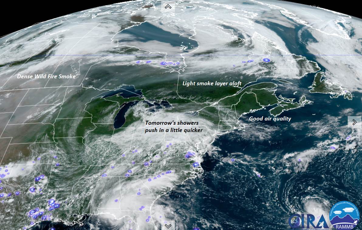
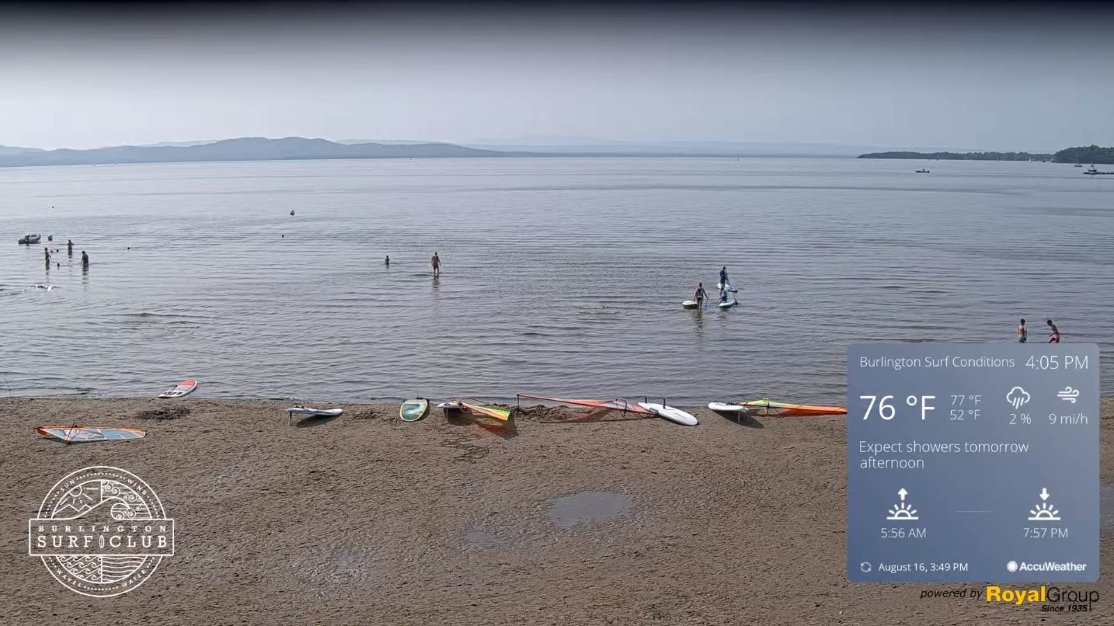
TOMORROW: Thickening clouds. Showers becoming likely by mid-day. Muggier. A high in the low to mid 70s. South breeze 10 mph, stronger near Lake Champlain.
TUESDAY NIGHT: Cloudy. Occasional showers…moderate at times. Patchy valley fog. A low in the low to mid 60s. Light south breeze stronger near Lake Champlain.
WEDNESDAY: Clouds with a few intervals of sun northern areas. Scattered showers, isolated thunderstorms. Sticky. A high mid-70s to near 80. Light southwest winds.
Looking further ahead…
WEDNESDAY NIGHT: Mainly cloudy. A few isolated showers. Humid. A low around 65.
THURSDAY: Mostly cloudy. Widely scattered showers…mostly central and southern areas. Continued very humid. A high upper 70s to around 80.
FRIDAY: Lot clouds. Chance for showers. Isolated thunderstorms. Continued muggy. A low in the mid-60s. A high low 80s.
SATURDAY: Mostly cloudy. Chance for showers, maybe an afternoon thunderstorms. A low in the mid 60sw. A high 80 to 85
SUNDAY: More clouds than sunshine. Scattered showers and afternoon thunderstorms. A low 65 to 70. A high in the low 80s.

Average low mid to upper 50s. Average highs mid to upper 70s.
Warmest surface water temperatures peaking based off local lake climatology.
RH/8-16forecast][end]
