
Heat Advisory Noon thru 8 PM this evening southern and western Vermont
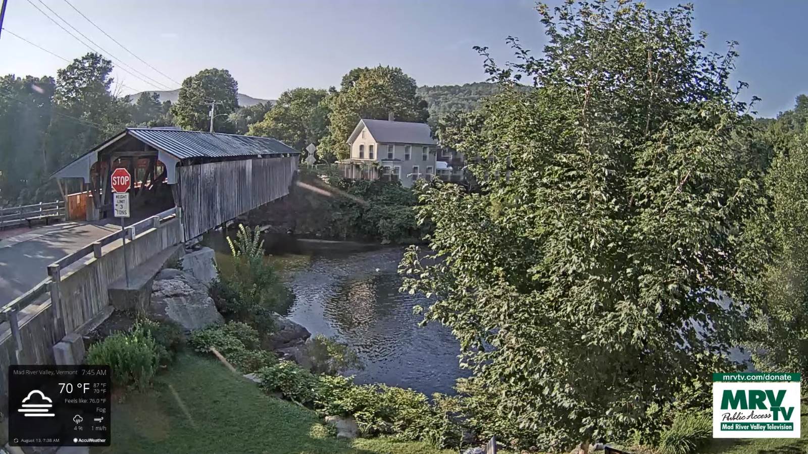
TODAY: Morning fog gives way to hazy sunshine. Warm and humid. Isolated late day thunderstorms far south. A high 85 to 90. Light south winds.
TONIGHT: Fair early, then mostly cloudy. Scattered showers & a few thunderstorms, some strong and locally heavy. Sticky. A low in the upper 60s. Light southwest winds.
SATURDAY: Chance for a few morning showers exiting, giving way to partial afternoon sunshine. Becoming much less humid in the afternoon, with a cooling trend. A high upper 70s. Winds west to northwesterly 10 mph.
Looking further ahead…
SATURDAY NIGHT: Mostly clear & refreshingly cooler. A low around 55.
SUNDAY: Variable high cloudiness, otherwise much cooler and less humid. A high low to mid 70s.

MONDAY: Partly to mostly sunny with high cloudiness. A low around 50 to 55. A high in the mid-70s.
TUESDAY: Mostly sunny with a few high clouds. Slightly more humid. A low near 55. A high 80 to 85.
WEDNESDAY: Mixed clouds and sun. Slight chance for a brief shower or thunderstorm southern areas. A low in the low 60s. A high 80 to 85.
Average low 55 to 60. Average highs in the low-70s to around 80.
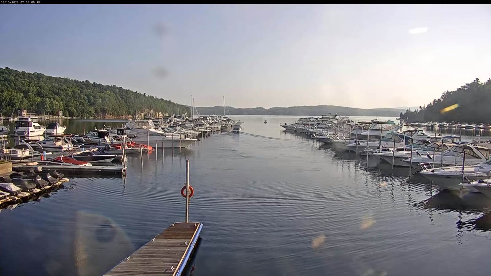
Warmest surface water temperatures peaking based off local lake climatology.
RH/8-13forecast][end]
