
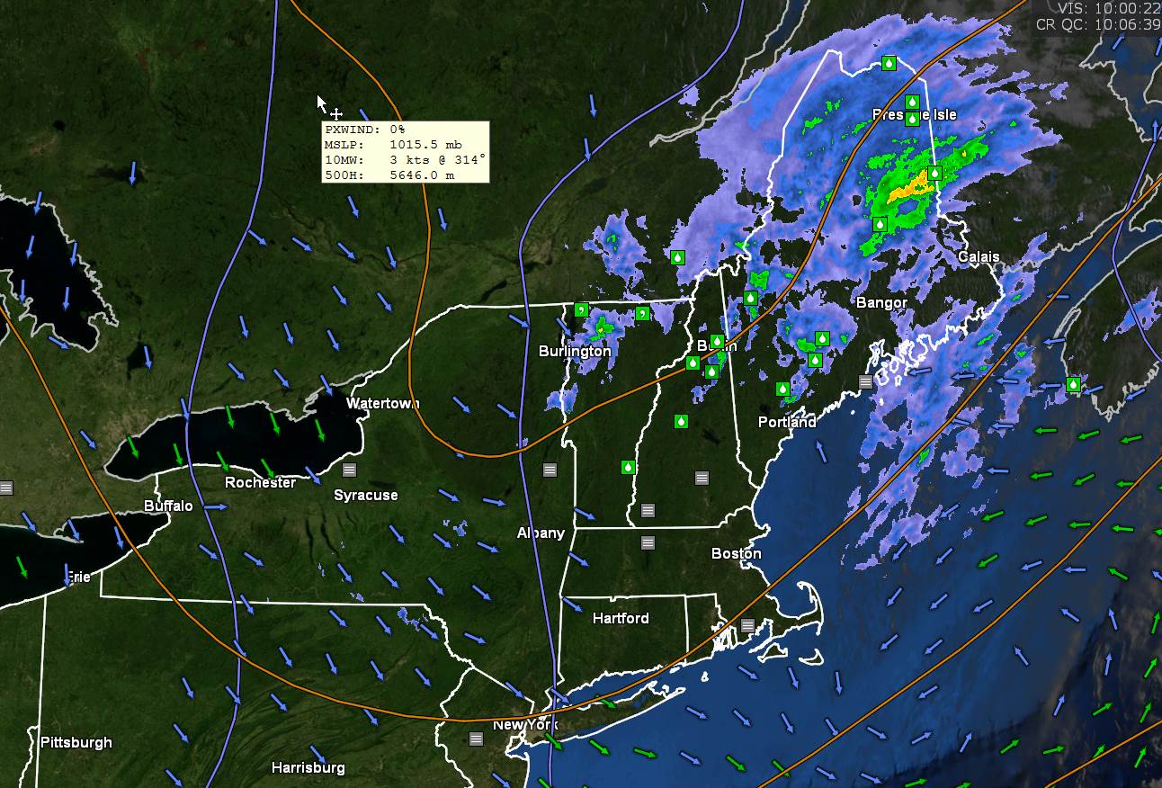
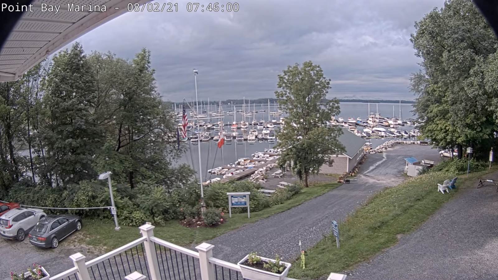
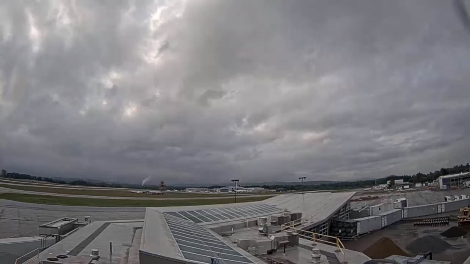
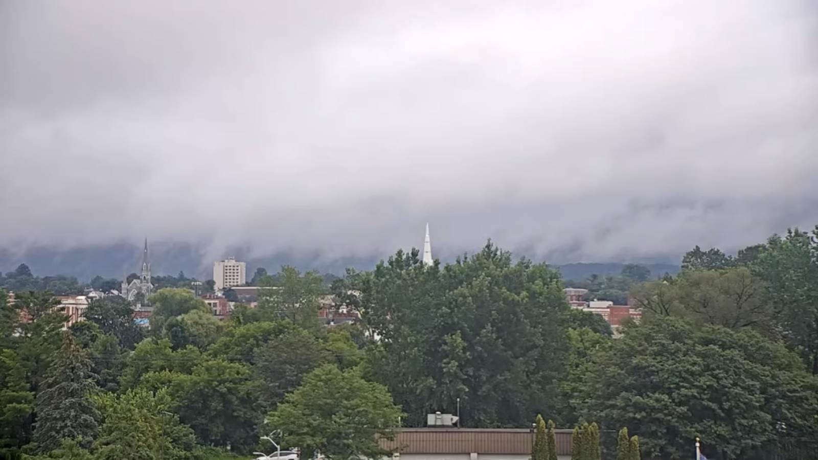
TODAY: A damp, wet morning with an occasional sprinkles areas of drizzle…transitions to partial afternoon sun. A slow warming trend begins, with a high reaching around 70. Northwest breeze 10 mph.
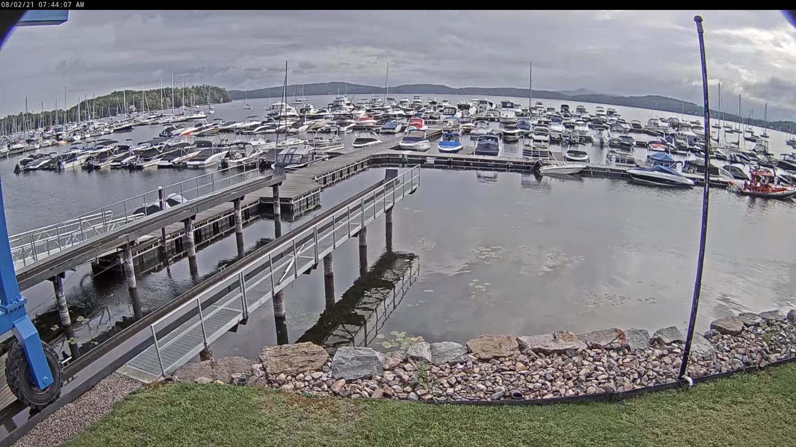
TONIGHT: Mostly clear. Considerable valley fog. A low in the upper 40s to around 50. Light south winds.
TUESDAY: Fog burns off to morning sun, with some high clouds in the afternoon. A high 70 to 75. Southwest winds 10 to 15 mph stronger near Lake Champlain.
Looking further ahead…
TUESDAY NIGHT: Clear with some high cloudiness. Patchy valley fog. A low in the mid-50s.
WEDNESDAY: Filtered sun through high clouds. A high around 75.
THURSDAY: Morning fog then mixed clouds and sun. Chance for a shower far southern areas. A low around 55. A high mid to upper 70s.
FRIDAY: Mostly cloudy. Scattered showers and afternoon thunderstorms. A low upper 50s to around 60. A high mid to upper 70s.
Average low 55 to 60. Average highs in the low-70s to around 80.
Warmest surface water temperatures early August based off local lake climatology.
RH/8-2forecast][end]
