
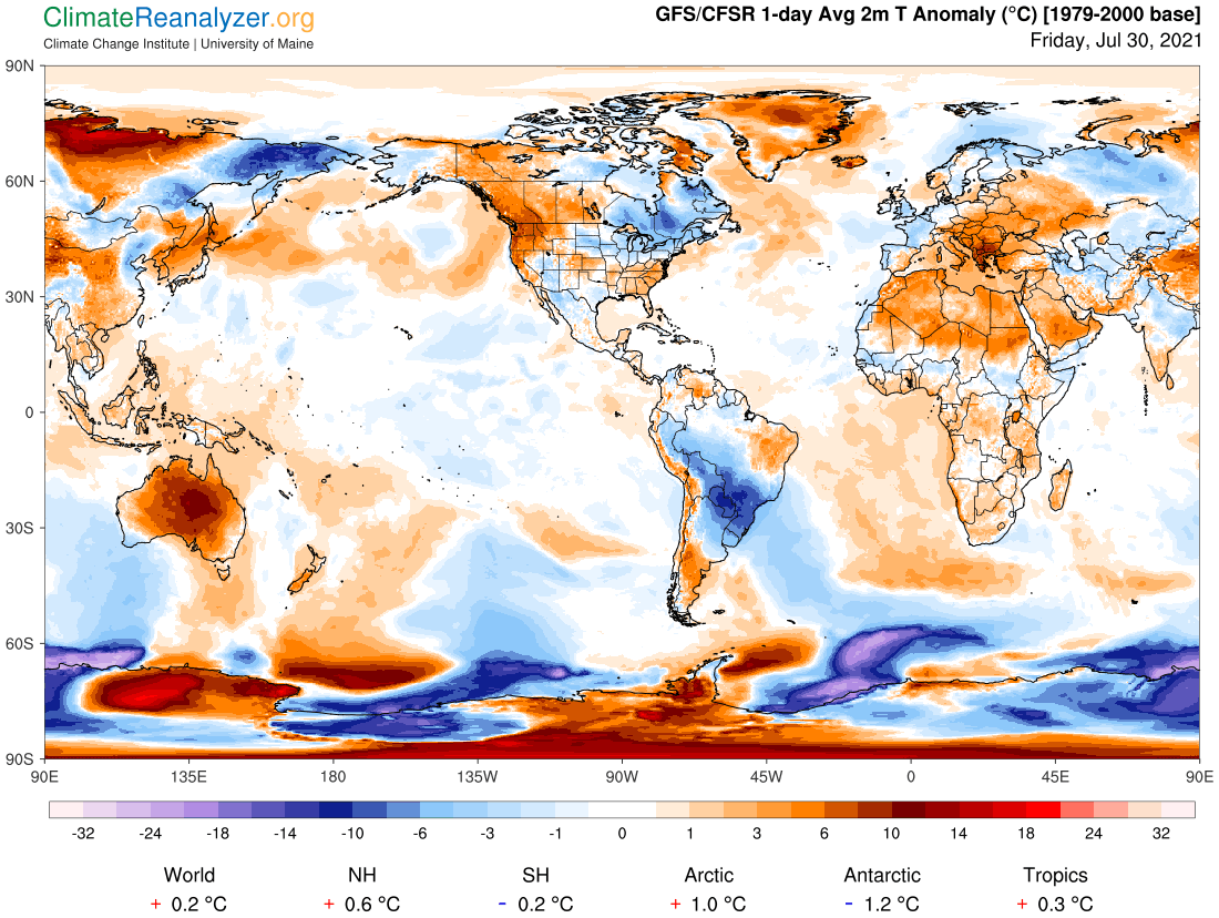
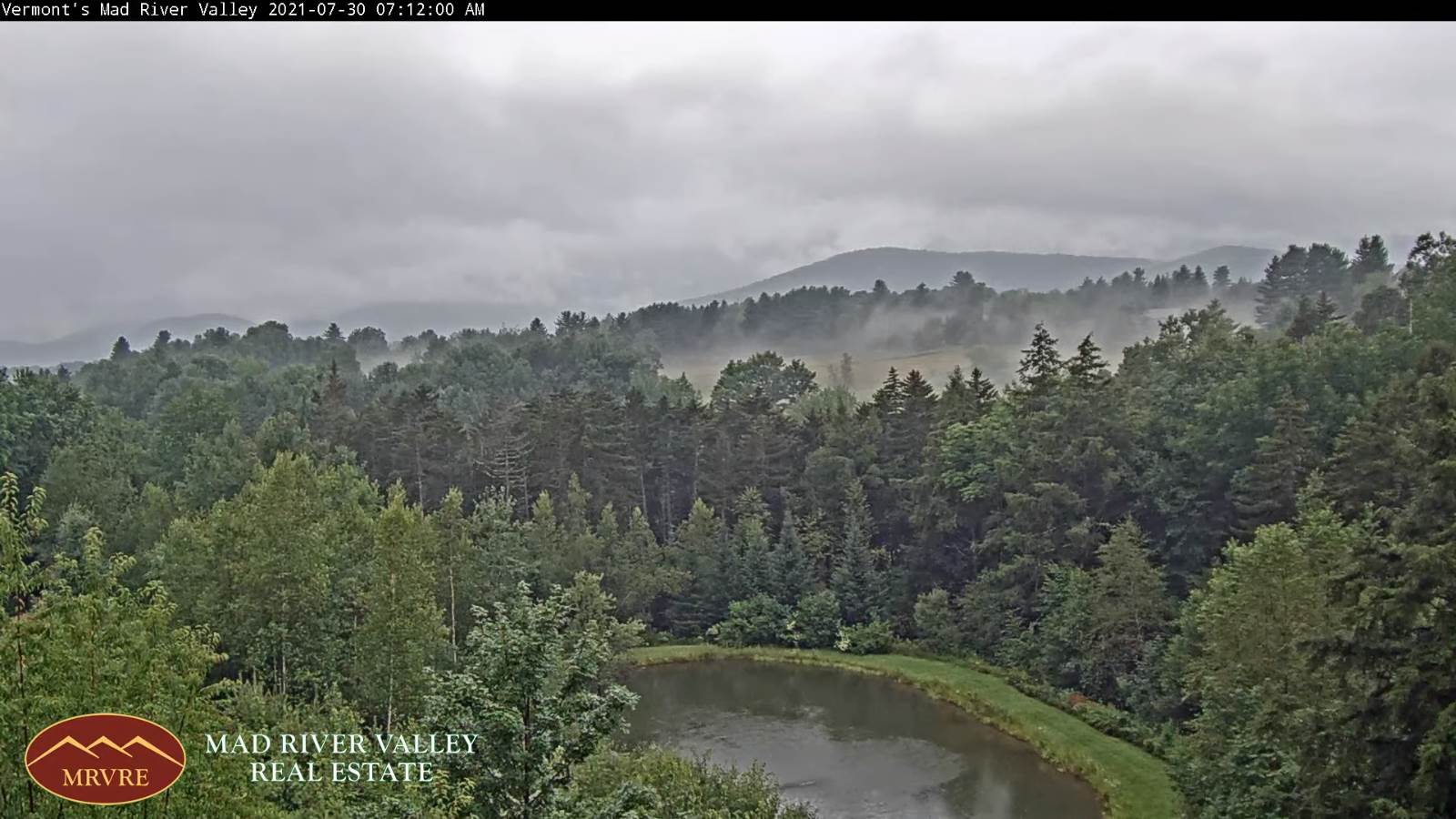
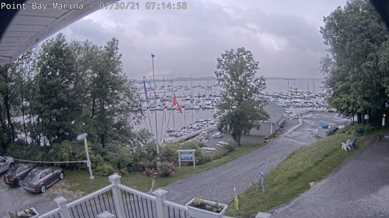
TODAY: Scattered showers, maybe a rumble of thunder this morning Champlain Valley. A few lingering mountain showers this afternoon tapering off late. Otherwise, clouds give way to intervals of afternoon sun, chilly & blustery. A high around 65. Northwesterly winds 10 to 25 mph & gusty.
TONIGHT: A few early evening clouds, then clearing. Chilly. Patchy valley fog. A low down 45 to 50. Light northwest winds.
SATURDAY: Morning fog, then variable clouds. Cool, with a high just 60 to 65. Northwest breeze 10 mph in the afternoon.
Looking further ahead…
SATURDAY NIGHT: Variable high cloudiness, otherwise fair and dry. A low near 45.
SUNDAY: Overcast. Showers likely…moderate at times with a risk for thunder. A high near 65.
MONDAY: Showers especially in the morning tapering to scattered mountain sprinkles in the afternoon. Slow warming trend. A low near 55. A high near 70.
TUESDAY: Morning sunshine, then high cloudiness. A low in the upper 50s. A high 70 to 75.
WEDNESDAY: High clouds maybe a few hints of sun. A low 50 to 55. A high around 75.
Average low mid-50s to low 60s. Average highs in the low-70s to around 80.
Warmest surface water temperatures early August based off local lake climatology.
RH/7-30forecast][end]
