
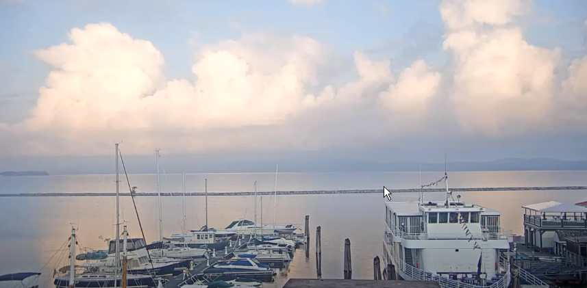
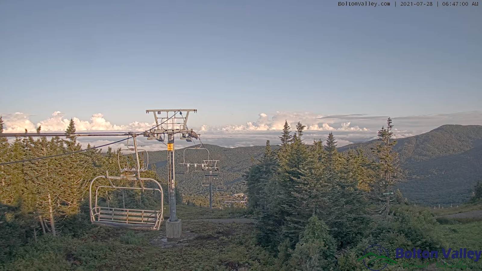
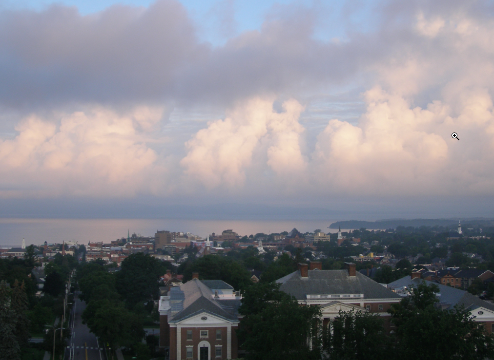
TODAY: Sunshine with some afternoon cloudiness. Cooler. A high in the low 70s. North breeze 10 mph.
TONIGHT: Variable high cloudiness with patchy valley fog. Cool. A low in the low 50s. Light southeast winds.
THURSDAY: Hints of morning sun gives way to thickening clouds. A rising chance for showers by late afternoon. A high 70 to 75. Southwest winds 10 mph.
Looking further ahead…
THURSDAY NIGHT: Overcast & damp. Chance for rain or frequent showers…moderate at times northern areas. A low 55 to 60.
FRIDAY: More clouds than sunshine, cool and damp. Scattered showers. Chilly for this time of year. A high near 65.
SATURDAY: Periods of morning sunshine with cloudy periods in the afternoon. A low in the low 50s. A high in the mid-60s.
SUNDAY: Thickening clouds leading to a chance for showers…moderate at times. A low 45 to 50. A high 65 to 70.
MONDAY: Chance for morning showers. Then, periods of afternoon sunshine. Warming trend. A low near 55. A high near 70.
TUESDAY: Morning sunshine then afternoon cloudiness. A low around 50. A high around 70.
Average low mid-50s to low 60s. Average highs in the low-70s to around 80.
Warmest surface water temperatures early August based off local lake climatology.

RH/7-27forecast][end]
