
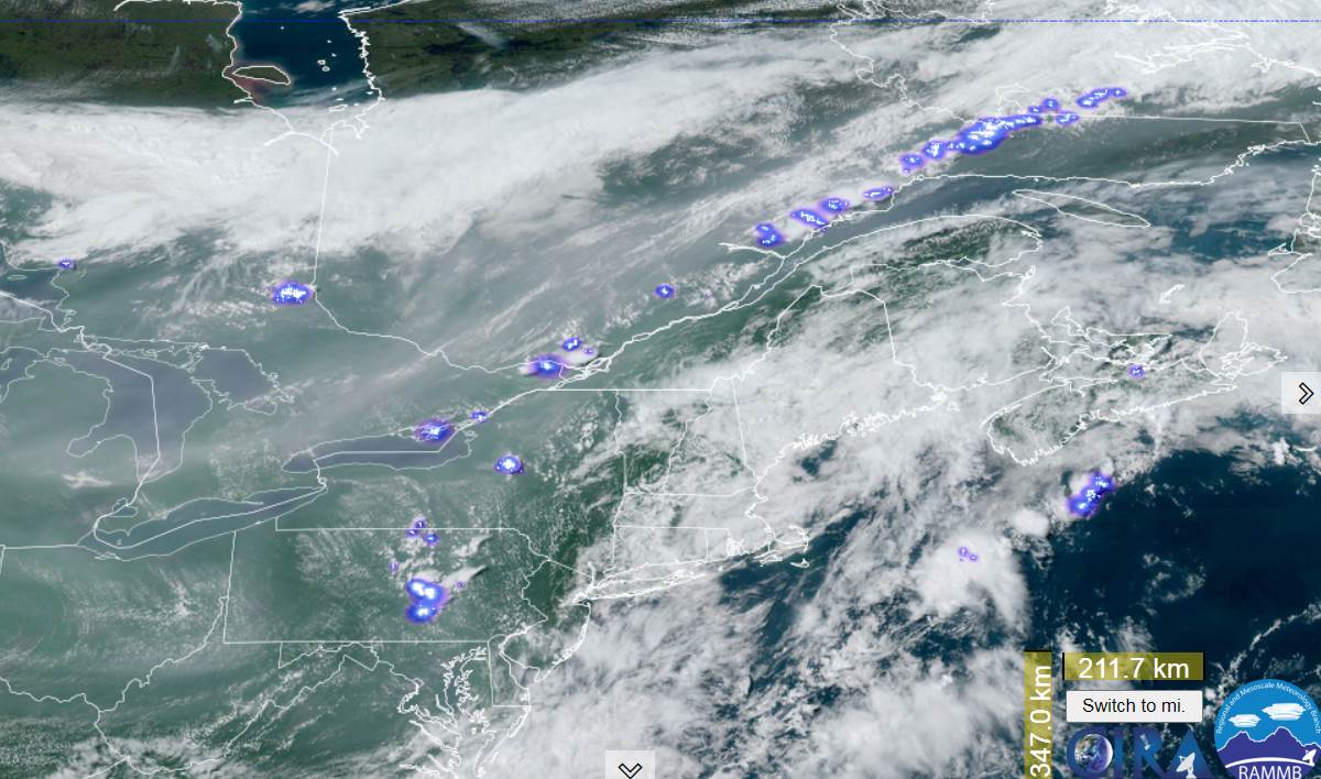
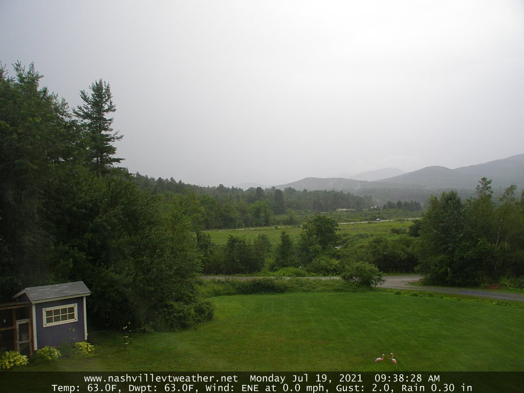
TONIGHT: An isolated shower or two, otherwise becoming partly cloudy & hazy. Considerable valley fog. A low in the low 60s. Light west winds.
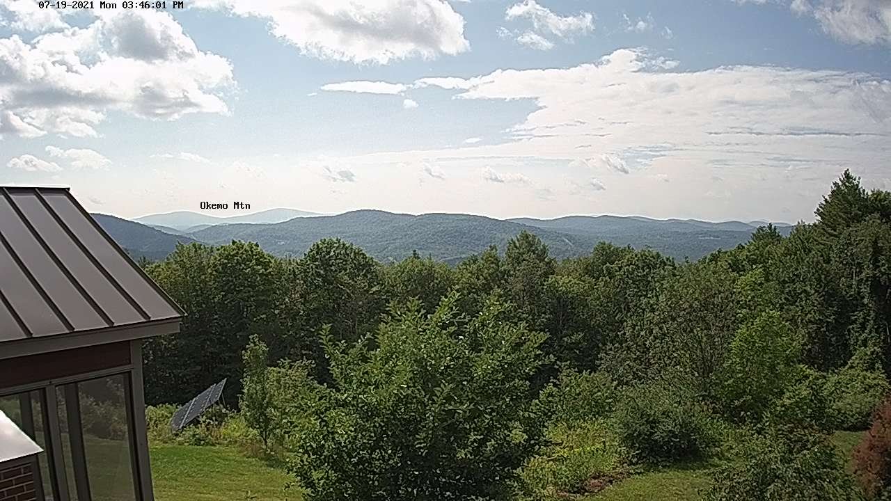
TOMORROW: Partial sunshine then more afternoon clouds. Showers likely northern areas with isolated late day thunderstorms northern areas. Muggy. A high upper 70s to around 80. Light west winds.
TUESDAY NIGHT: Scattered showers and a chance for a thunderstorm northern areas. Otherwise cloudy. A low in the low 60s. Light southwest winds.
WEDNESDAY: Lots of clouds and cooler. Lingering showers. A high lower 70s. Wind becoming northwesterly 10 to 15 mph.

Looking further ahead…
WEDNESDAY NIGHT: A leftover early evening shower, then clearing. A low around 55.
THURSDAY: Pick of the week. Sunshine mixed with high clouds and not so humid. A high 70 to 75.
FRIDAY: Partial morning sun then cloudy. Scattered showers. A low 50 to 55. A high 70 to 75.
SATURDAY: Mostly sunny. A low in the low 50s. A high near 75.
Average low mid-50s to low 60s. Average highs in the upper-70s to low 80s.
Meteorological summer peaks approx. July 22nd based off local climatology.
RH/7-19forecast][end]
