
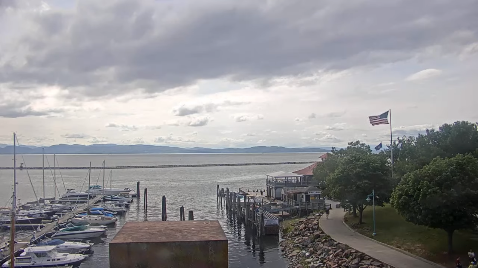
TONIGHT: Variable clouds this evening, then thickening clouds. Not so humid. A low near 60. Little wind.
TOMORROW: Overcast & increasingly damp and wet. Rising chance for showers southern areas late morning on. Showers spreading across the region early to midafternoon. Cooler, with a high 70 to 75. Little wind becoming light southeasterly.
SATURDAY NIGHT: Overcast. Periods of rain, moderate to heavy at times, maybe a thunderstorm. Areas of fog.A low near 65. Light southeast winds.
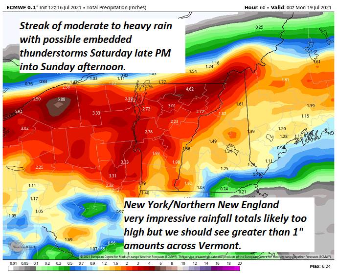
SUNDAY: Gray skies, Wet, damp and cooler. Periods of rain moderate at times. Maybe a rumble of thunder. A high around 70. Variable winds 10 mph.
Looking further ahead…

SUNDAY NIGHT: Lingering showers likely otherwise cloudy areas of drizzle and fog. A low around 60.
MONDAY: Morning showers exiting to partial afternoon sunshine. A high 75 to 80.
TUESDAY: Partial sunshine then more afternoon clouds. Chance for afternoon showers and thunderstorms, one or two strong & locally heavy. A low 60 to 65. A high 75 to 80.

WEDNESDAY: Partly to mostly cloudy. Lingering showers early, chance for a shower or thunderstorm in the afternoon. A low 60 to 65. A high in the lower 70s.
Average low mid-50s to low 60s. Average highs in the upper-70s to low 80s.
Meteorological summer peaks approx. July 22nd based off local climatology.
RH/7-16forecast][end]
