
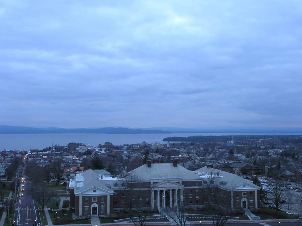
TONIGHT: Lots of clouds. Damp with areas of fog and a little drizzle, or sprinkles northern areas. A low near 32. Watch for black ice. Light south winds.
TOMORROW: Clouds with a few afternoon sunny breaks. Light rain showers mixed with wet snowflakes highest terrain exiting late. A high in the low 40s. Light southwest winds.
SATURDAY NIGHT: Mostly cloudy northern areas clearer skies south. A low around 30. Light southwest winds.
SUNDAY: More sun than clouds. A high 40 to 45. Light southwest winds.
Looking further ahead…
SUNDAY NIGHT: Fair early with thickening high clouds. A low near 32.
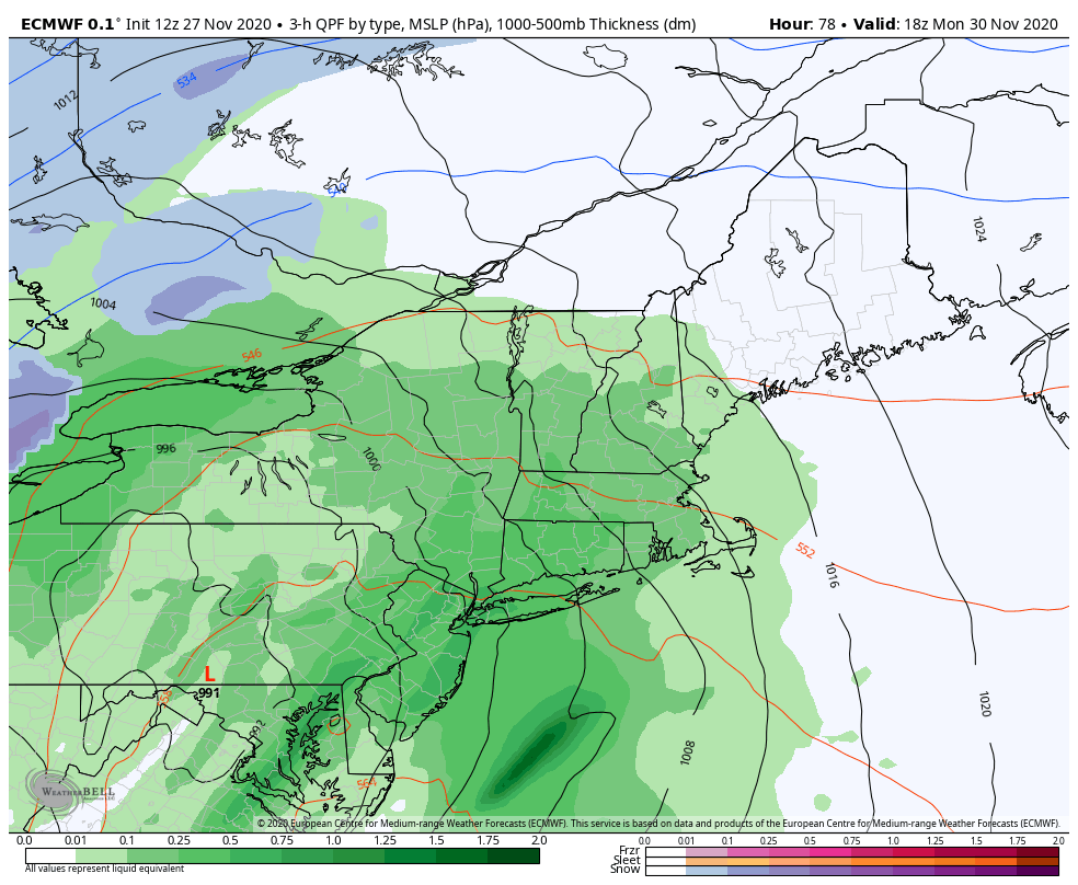
MONDAY: Gray. Rain likely late morning on. Breezy to windy with strong southeasterly wind gusts possible developing toward evening. Milder in the afternoon. A high near 50.
TUESDAY: Scattered rain showers. Otherwise clouds mixed with breaks of sun. Milder but breezy. A low in the 40s. A high mid 50s.
WEDNESDAY: Mainly cloudy. Chance for rain showers and light wet snow in the hills. A low around 30. A high around 40.
Average low upper teens to mid-20s, Average highs mid-30s to low 40s.
RH/11-27 category forecast][end]
