
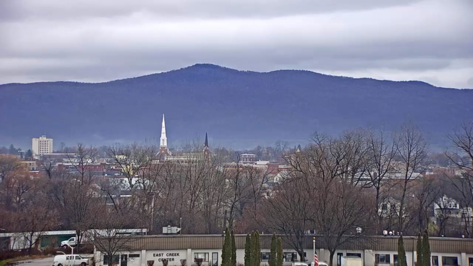
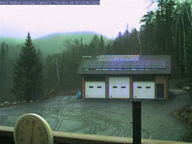
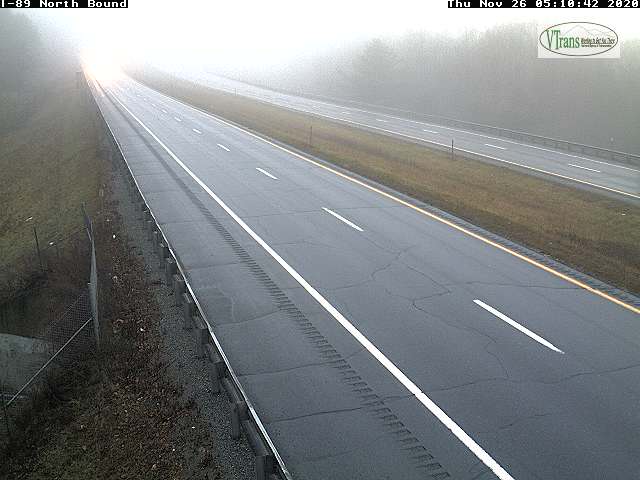
TODAY: Gray with areas of fog. Rain showers central and northern areas become widely scattered…steadier rain south continues. Some afternoon breaks of sun northern areas. A high in the low 40s. Southeast winds 10 mph.
TONIGHT: Mainly cloudy. Areas of fog. Isolated sprinkles. A low 35 to 40. Light south winds.
FRIDAY: Considerable cloudiness. An isolated mountain sprinkle. Milder. A high in the mid-40s. Winds becoming light and northwesterly.

Looking further ahead…
FRIDAY NIGHT: Mostly cloudy. Isolated rain showers mixed with wet snowflakes high terrain northern areas. A low in the mid-30s.
SATURDAY: Clouds mixed with intervals of afternoon sunshine. Scattered passing rain showers mixed with wet snow flakes elevated terrain. A high near 40.
SUNDAY: Partly sunny in the morning, lots of sun in the afternoon. A low in the upper 20s. A high in the mid 40s.
MONDAY: Thickening clouds. A rising chance for rain in the afternoon. Breezy to windy with strong southeasterly wind gusts possible developing toward evening. A low around 30. A high around 45.
TUESDAY: Rain showers exiting early, then variable cloudiness and milder but breezy. A low near 40. A high in the 50s.
Average low 20 to 25, Average highs upper 30s to near 45.
RH/11-26 category forecast][end]
