
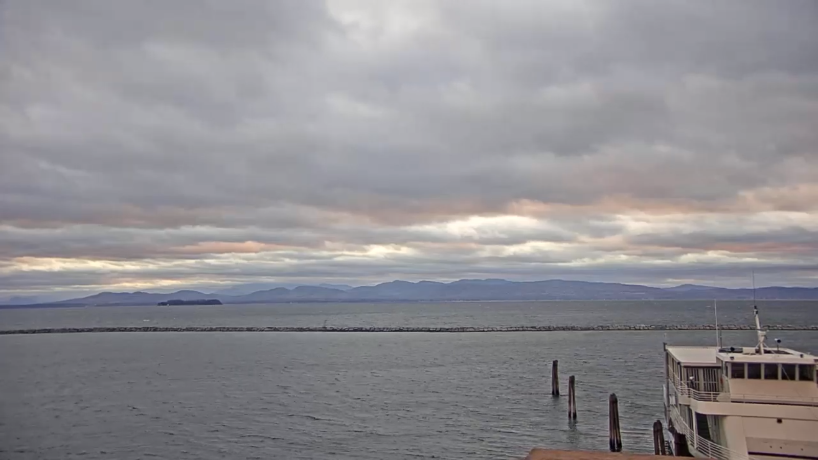
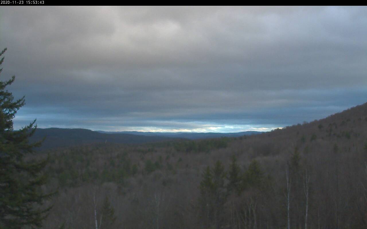
TONIGHT: Partly to mostly cloudy. A few mountain flurries with a dusting possible in spots northern areas. A low in the low to mid 20s. Northwest winds 10 mph.
TOMORROW: A stray flurry early, then increasing sunshine but cold. A high around 30. Northwest winds 10 to 20 mph.
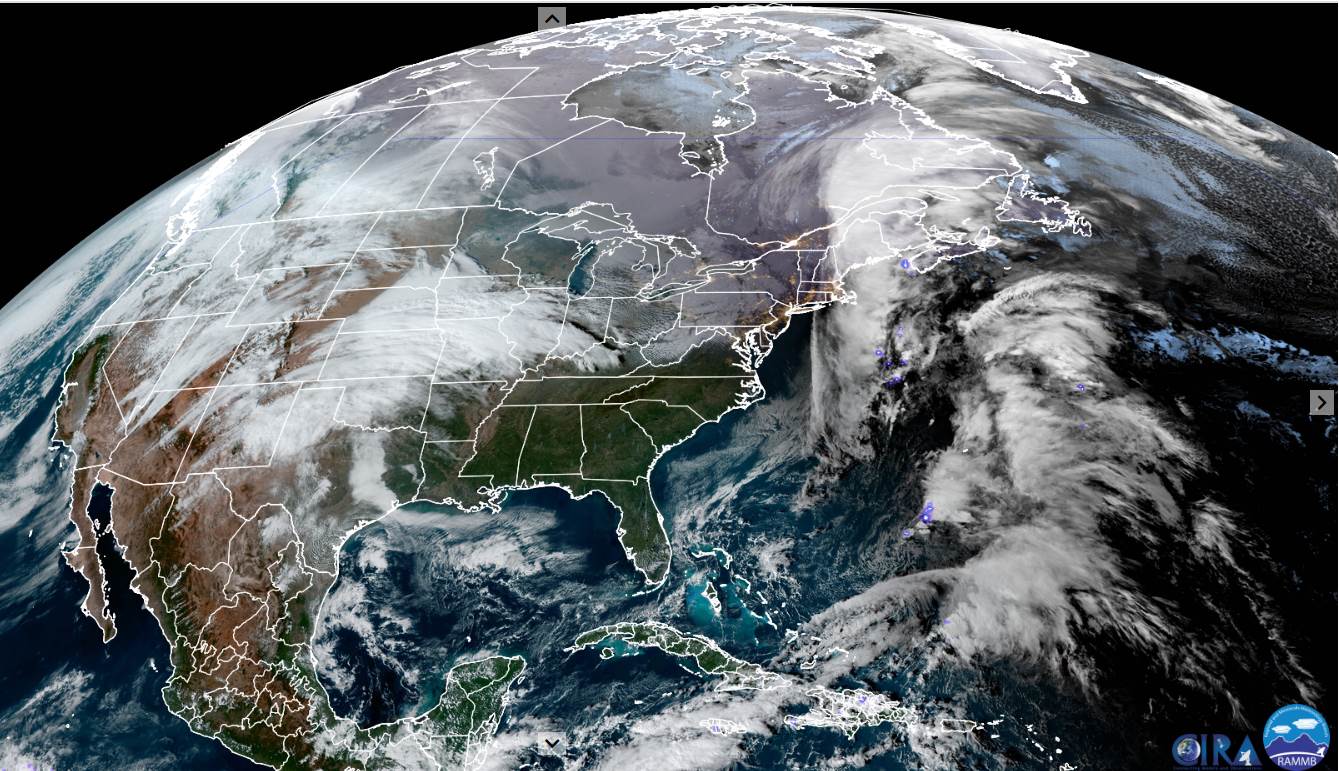
TUESDAY NIGHT: Thickening clouds. Light snow arrives toward daybreak. A low upper teens. Light southeast winds.
WEDNESDAY: Gray. Light accumulating snow gradually gives way to scattered snow showers northern areas. An inch or two especially northern higher terrain. A high near 35. Southeast winds 10 to 15 mph.
Looking further ahead…
WEDNESDAY NIGHT: Cloudy. Chance for snow or mixed precipitation. A low about 32 degrees.
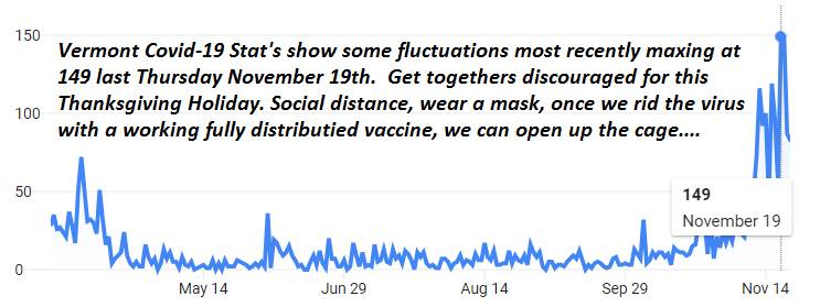
THURSDAY THANKSGIVING DAY: Chance for mixed precipitation, otherwise turning milder with scattered rain showers. A high 40 to 45.
FRIDAY: Partly to mostly cloudy. Widely scattered showers. Milder. A low mid-30s. A high around 50.
SATURDAY: Mostly cloudy with scattered rain or snow showers. A low near 32. A high 40 to 45.
Average low 20 to 25, Average highs upper 30s to near 45.
RH/11-23 category forecast][end]
