

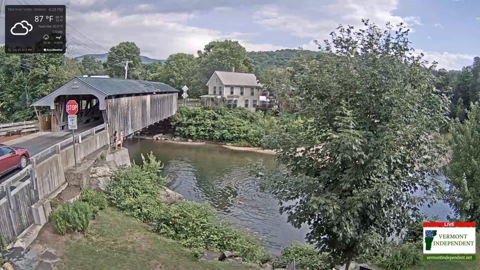
Heat Index shown for temperature at 4:15 PM
Heat Advisories S. Champlain Valley and lower valleys Windsor County early this evening…
TONIGHT: A few showers and isolated thunderstorms…possibly strong across northern areas winding down, otherwise becoming mostly clear. Remaining warm and oppressive. A low upper 60s to near 70. Light southwest winds.
TOMORROW: A round showers and thunderstorms, some briefly strong with locally heavy downpours mid-morning thru early afternoon then exiting. Becoming partly to mostly sunny turning less humid. A high around 85. Light southwest breeze.
TUESDAY NIGHT: Becoming mostly clear with a few high clouds. Considerable valley fog. Much less humid. A low 55 to 60. Light southwest winds.
WEDNESDAY: Pick of the week. Partly to mostly sunny with more clouds arriving late. Much more comfortable and pleasant. A high 80 to 85. Southwest breeze 10 mph.
Looking further ahead…
WEDNESDAY NIGHT: Slight chance for a brief shower northern areas in the evening. Partly cloudy to mostly clear. A low in the low 60s.
THURSDAY: Partly sunny. Chance for an afternoon pop-up shower or thunderstorm. A high upper 70s to near 80.
FRIDAY: Partly sunny. Chance for an afternoon pop-up shower or thunderstorm. A low 55 to 60. A high 75 to 80.
SATURDAY: Mixed clouds and sun. A low around 60. A high around 80.
Average lows low 60s, average highs around 80.
