
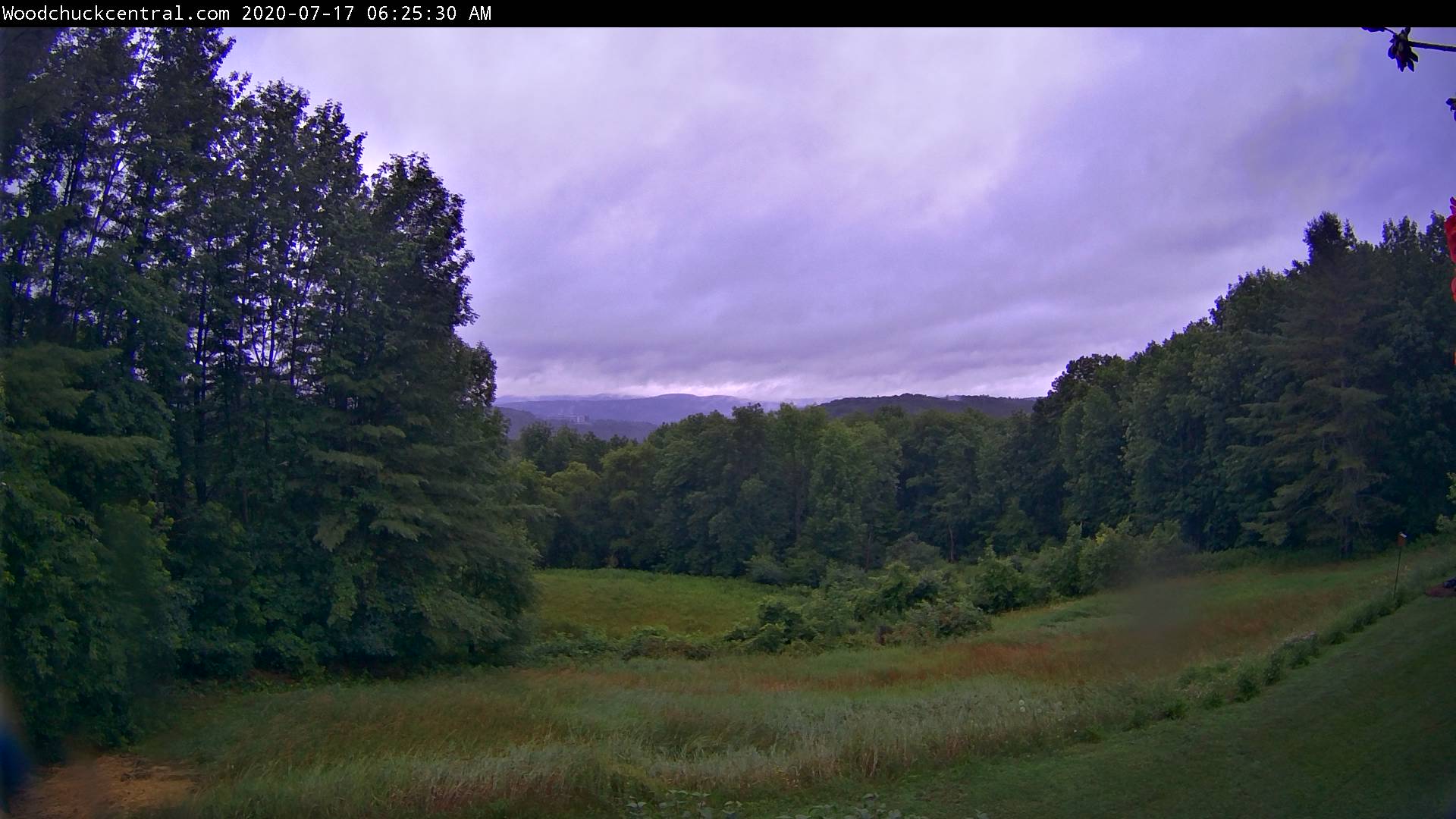
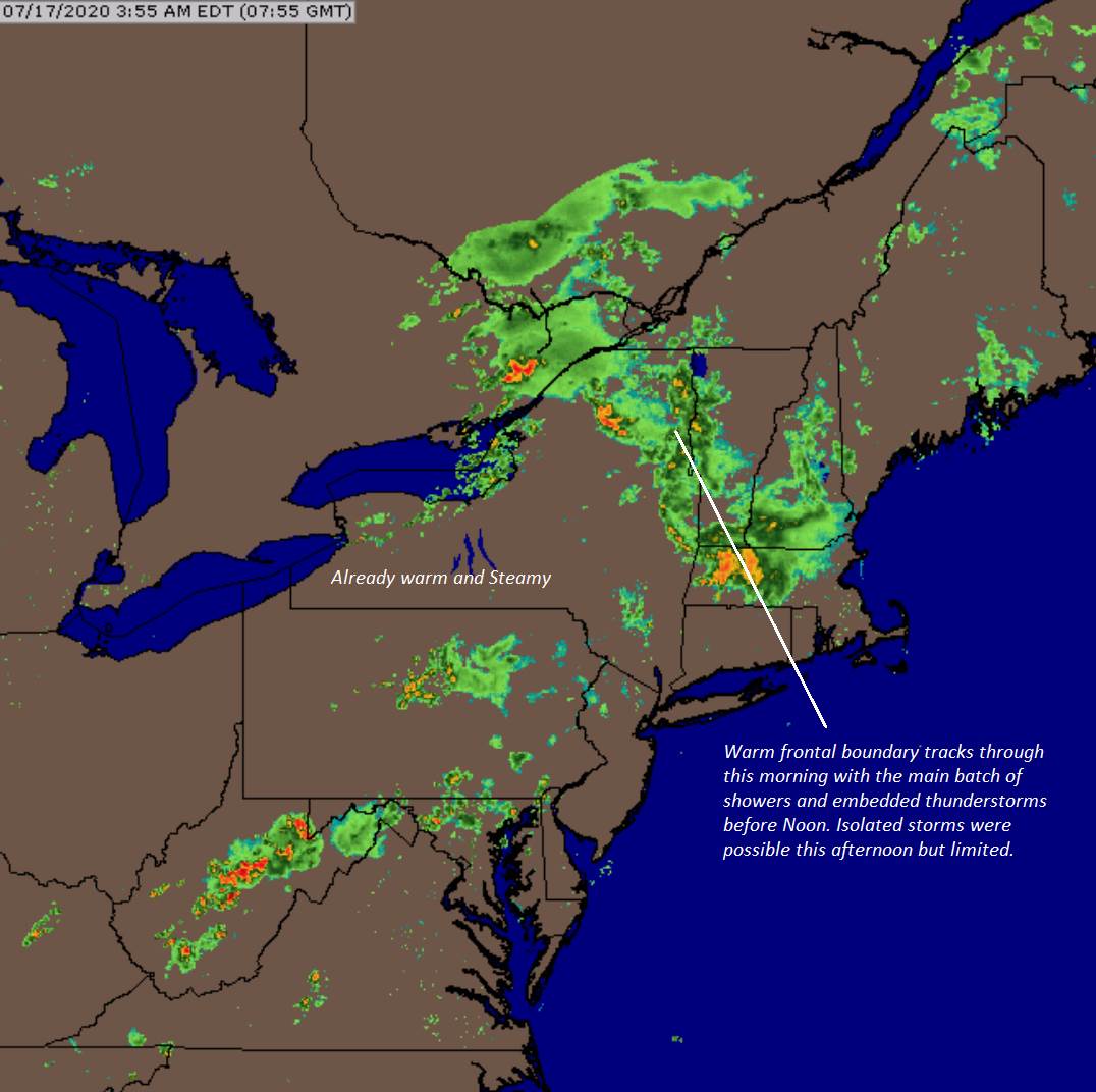
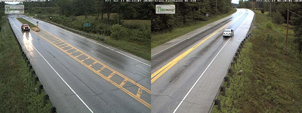
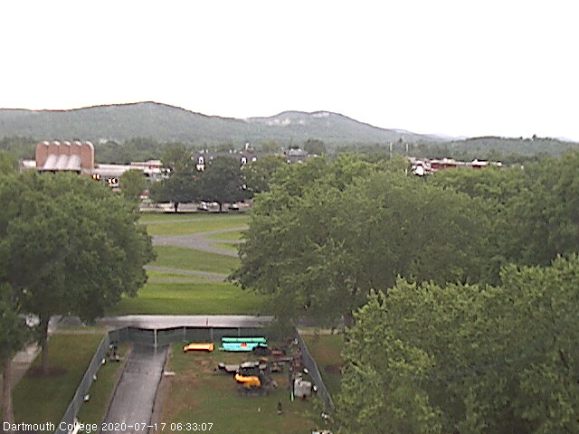
TODAY: Showers and embedded thunderstorms especially northern areas…some locally heavy for a time this morning. Partial late day sunshine developing. Gradually more muggy. A high mid-70s. Southeast breeze 10 to 20 mph.
TONIGHT: Partly cloudy. Considerable valley fog with a low near 60. Light southwest winds.
SATURDAY: Morning fog, then lots of sunshine, much warmer and muggier. A high near 85. West to southwest winds 10 mph.
Looking further ahead…
SATURDAY NIGHT: Variable high cloudiness. Isolated valley fog. A low 60 to 65.
SUNDAY: Partly to mostly sunny. Hot and sticky. A high around 90. Heat indices reaching the mid to upper 90s- hotter Champlain Valley.
MONDAY: Chance for early to mid-morning showers and thunderstorms, then becoming partly sunny. Warm and oppressive. A low in the low 70s. A high mid-80s.
TUESDAY: Morning fog burns off to mixed clouds and sun not as humid. A low near 60. A high around 80.

WEDNESDAY: Patchy fog then brief morning sun. A rising chance for showers and thunderstorms. A low in the low 60s. A high in the low 80s.
Peak of summer July 22nd. Average lows upper-50s to low 60s, average highs upper-70s to low 80s.
RH/7-16[end]
