
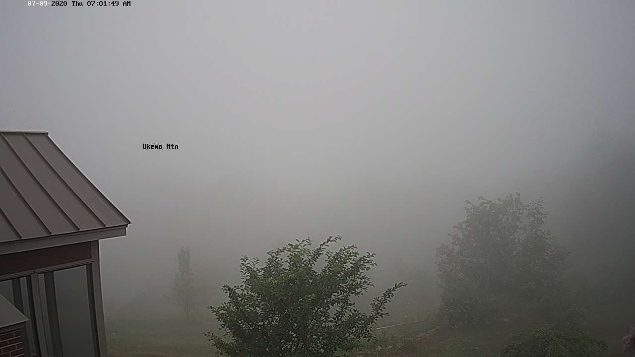
TODAY: Morning fog, then sunshine with a few afternoon “cumulus build-ups.” Warm and sticky with an isolated afternoon thunderstorm possible near the mountains. A high mid to upper 80s…with heat indices around 90 even hotter toward Champlain valley. Very light southwest breeze.
TONIGHT: Mostly clear. Oppressive and uncomfortable. A low in the upper 60s. Light southeast winds.
FRIDAY: Partly to mostly sunny, hot and steamy. A high upper 80s to around 90. Heat indices low to mid 90s. Light southeast winds.
Looking further ahead…
FRIDAY NIGHT: Increasing and thickening clouds. Oppressive and uncomfortable. A low around 70.
SATURDAY: Considerable cloudiness. Chance for locally heavy showers and possible isolated thunder. Continued very humid, but not so hot. A high 75 to 80.
SUNDAY: More clouds than sun. Scattered heavy showers with possible afternoon thunderstorms. Continued muggy. A low 65 to 70. A high 75 to 80.
MONDAY: Mixed sun and afternoon cloudiness. Chance for showers and isolated thunderstorms. A low in the low 60s. A high in the mid to upper 70s.
TUESDAY: Mainly cloudy. Chance for showers and possible thunderstorms. A low around 60. A high 75 to 80.
Average lows mid-50s to low 60s, average highs upper-70s to low 80s.
RH/7-9[end]
