
High Wind Warning western slopes of the central Green Mountains, Wind Advisories northern tier higher terrain through 1 PM Thursday afternoon…
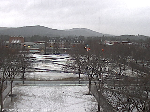
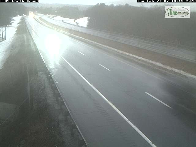
TODAY: Cloudy, blustery to windy at times high terrain. Periods of rain …with wet snow accumulation intermediate and high terrain. Little accumulation some valleys…several or more inches Green Mountain summits. A high mid to upper 30s. Southeast winds 10 to 20 mph gusting 35 to 55 mph western slopes Greens and higher terrain of the Northeast Kingdom…shifting to southwesterly in the afternoon and decreasing some.
TONIGHT: Considerable cloudiness and blustery at times. Chance for “lake effect flurries or snow showers” some minor accumulation. A low 15 to 20. Southwest winds 10 to 20 mph.
FRIDAY: Lots of clouds, but some intervals of sun. An occasional flurry. A high 25 to 30. Southwest winds 10 to 20 mph.
Looking further ahead…
FRIDAY NIGHT: Partly cloudy. Occasional flurries. A low 10 to 15.
SATURDAY: A few stray morning flurries. Otherwise, more sun in the afternoon. Colder. A high 20 to 25.
SUNDAY: Partly to mostly sunny. A low 5 above to 5 below. A high in the lower 20s.
MONDAY: Thickening clouds. Rising chance rain or snow showers higher terrain. A low in the teens. A high 35 to 40.
TUESDAY TOWN MEETING DAY: Morning sprinkles/wet snow flakes exiting. Otherwise lots of clouds. A low around 32. A high in the mid-40s.
WEDNESDAY: Mainly gray. Chance for rain or showers, with a risk for a wintry mix in the morning. A low around 30. A high in the 40s.
Average lows in the teens, average highs in the 30s….
RH/2-27[end]
