
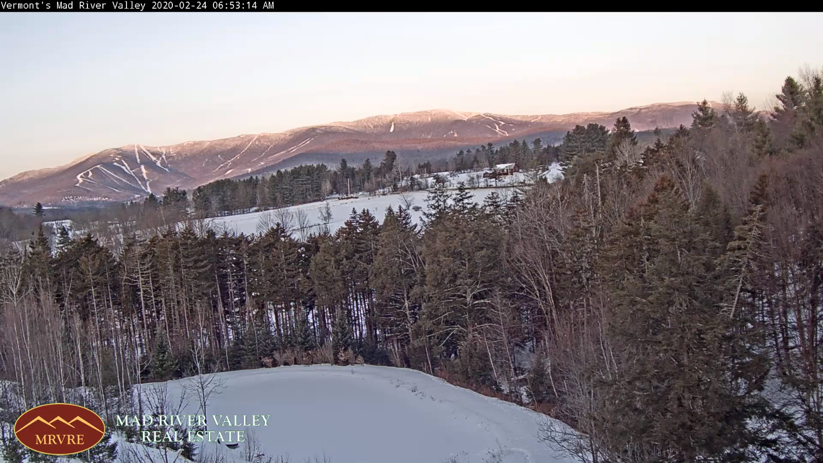
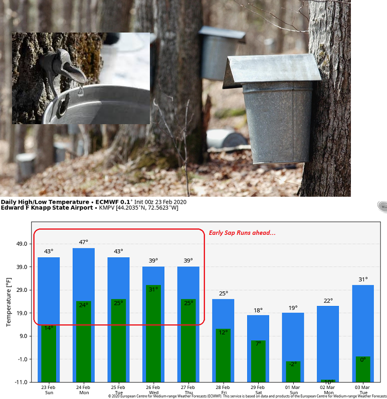
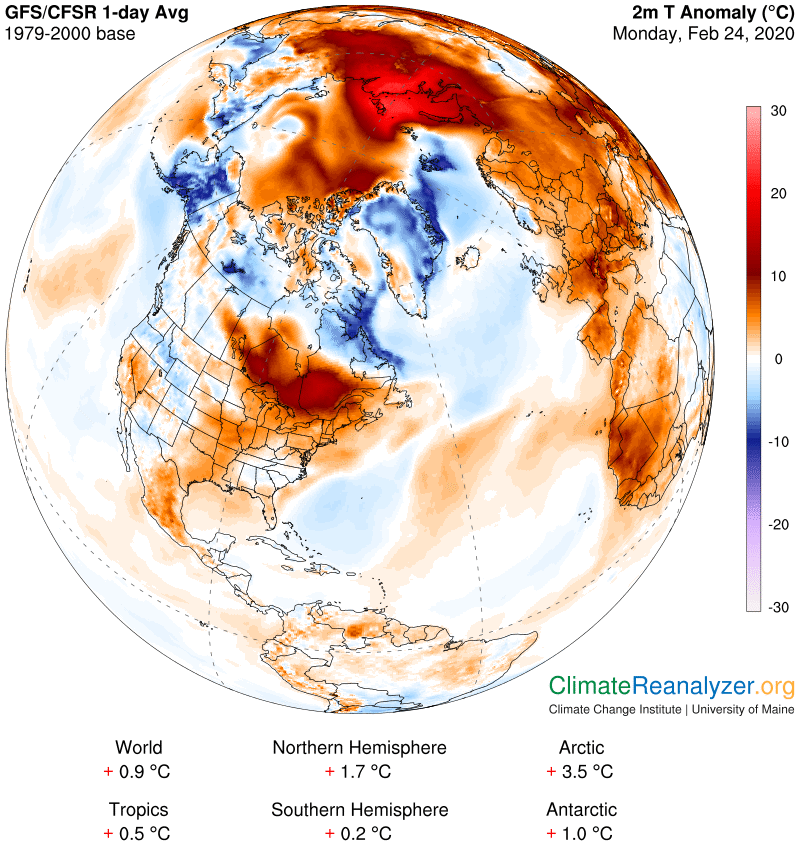
TODAY: Morning sunshine becomes filtered through high cloudiness. Temperatures running 15 to 20 degrees above seasonal norms with a good chance for “sap runs”. A high mid-40s pushing near 50. Southwest winds 10 mph.
TONIGHT: Thickening clouds. A low 30 to 35. Little wind.
TUESDAY: Clouds with a few intervals of sun. A high in the low 40s. Light north winds.
Looking further ahead…
TUESDAY NIGHT: Overcast. Rising chance for accumulating wet snow showers. Some minor accumulation. A low upper 20s to low 30s.
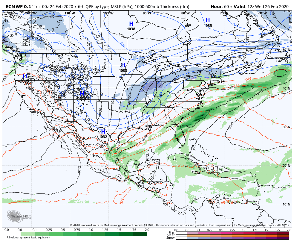
WEDNESDAY: Gray. Chance for periods of wet snow mixed with rain especially valley floors. A high upper 30s.
THURSDAY: Cloudy. Periods of accumulating wet snow, a few to several inches possible. Blustery to windy especially western slopes of the Green Mountains. A low 25 to 30. A high around 35.
FRIDAY: Lots of clouds, but some intervals of sun later on. Scattered snow showers with some minor accumulation northern areas. A low in the mid to upper teens. A high mid-20s to around 30.
SATURDAY: Considerable cloudiness with scattered snow showers and valley flurries. A low around 10 above. A high around 25.
Average lows in the teens, average highs in the 30s….
RH/2-21[end]
