
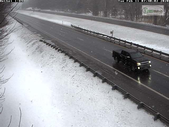
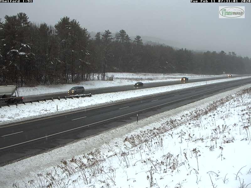
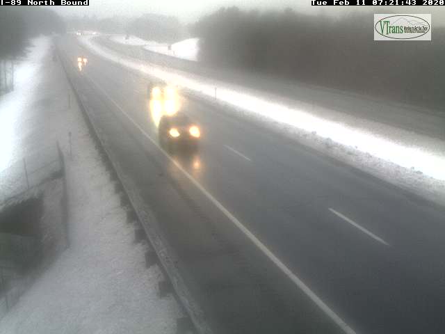
TODAY: Cloudy. Scattered flurries or sprinkles mainly southern into central areas later this morning. Little to no accumulation but watch for slick spots. A high 32 to 35. Light south winds.
TONIGHT: Mainly cloudy. A round of mountain snow showers valley flurries develops toward midnight, Less than an inch across higher terrain. A low in the mid-20s. West winds 10 to 20 mph.
WEDNESDAY: Pick of the week. A few morning flurries exit the Northeast Kingdom, then more sunshine than clouds. A high around 32 degrees. West winds 10 mph.
Looking further ahead…
WEDNESDAY NIGHT: Fair in the evening, then thickening clouds. A rising chance for light snow developing toward daybreak. A low mid-20s to near 30.
THURSDAY: Overcast. Good chance for snow…possibly moderate at times. Accumulation about 2 to locally 6”. Mixed precipitation with some glazing across far southern counties of Vermont. A high in the low 30s.
FRIDAY: Morning snow showers tapering to scattered flurries. 1 to 2”fluffy accumulation. Breaks of late day sunshine. Colder. A low zero to 10 degrees. A high in the mid-teens.
SATURDAY: Mostly sunny. Frigid. A low 10 to 20 below. A high in the low to mid-teens.
Average lows upper single digits to mid-teens, average highs upper 20s to mid-30s.
RH/2-11[end]
