
Winter Storm Warning thru 10 PM this evening…
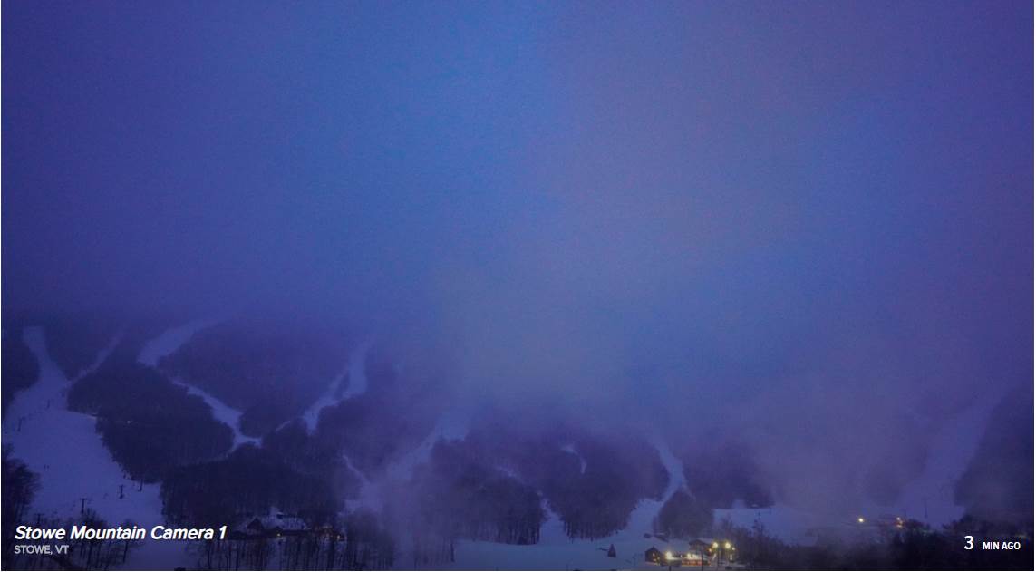
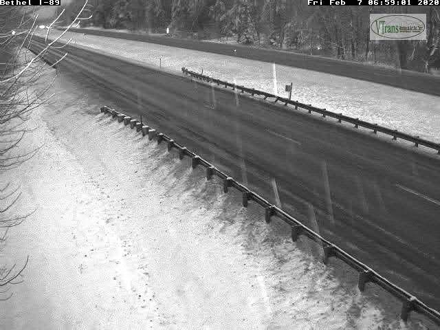
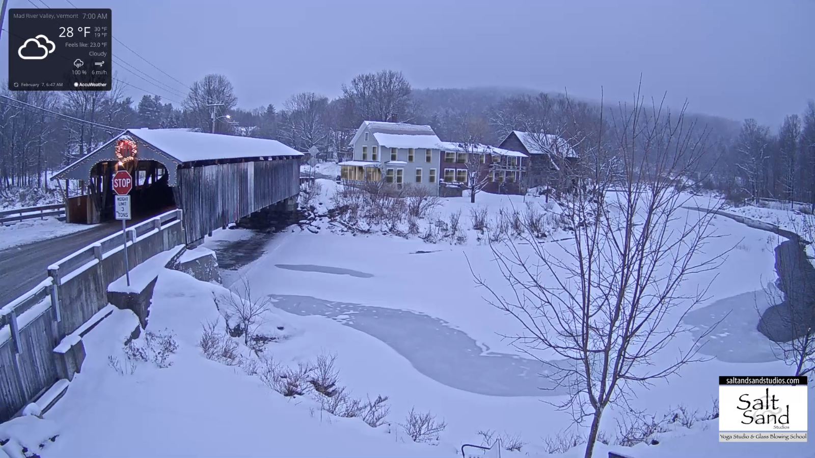
TODAY: Gray. Wintry mix changing to snow…moderate to possibly heavy at times. Glazing up to two tenth of an inch central and southern Vermont. Snow accumulation 6 to 12”. A high near 32. Light north winds, becoming northwesterly 10 to 25 mph causing considerable blowing and drifting late this afternoon.
TONIGHT: Snow…briefly moderate…before winding down as flurries. Additional accumulation about 1 to 2”. Otherwise, mostly cloudy and sharply colder. A low in the single digits. Northwest wind 10 to 25 mph, with higher gusts causing blowing and drifting and lowering wind chills.
SATURDAY: Arctic-like sunshine. Diamond dust flurries in the morning. Cold. A high 10 to 15. Northwest winds 10 to 15 mph lowering wind chills.
Looking further ahead…
SATURDAY NIGHT: Frigid with a low 5 to 15 below with isolated spots near 20 below.
SUNDAY: Sunshine gives way to increasing clouds in the afternoon. A high 20 to 25.
MONDAY: Mainly cloudy. Chance for light snow into the afternoon then drying up. Early low upper teens to around 20. A high in the mid-30s.
TUESDAY: Mixed clouds and sun. Maybe a flurry. A low 15 to 20. A high around 35.
Average lows 5 to 15 above, average highs mid-20s to mid-30s.
RH/2-7[end]
