
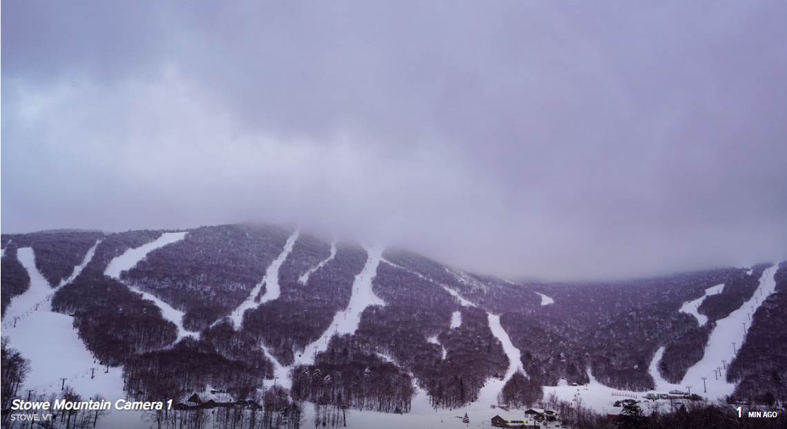
TODAY: Gray with a few breaks of sun possible late. Mountain flurries, with a skiff of accumulation. A high around 32. Northwest winds 10 mph.
TONIGHT: Scattered evening flurries, drying up overnight with little accumulation. Otherwise partial clearing after mid night. A low 5 to 10 above. Light northwest winds.
WEDNESDAY: Pick of the week. A beautiful winter day. Blue skies and bright sunshine. A high in the mid-20s. Northwest winds 10 mph.
Looking further ahead…
WEDNESDAY NIGHT: Clear skies and frigid. A low 5 above to 5 below.
THURSDAY: Sunshine becoming filtered through high cloudiness later in the afternoon. A high near 25.
FRIDAY: Considerable cloudiness. A low zero to 5 above. A high 32 to 35.
SATURDAY: Cloudy. A rising chance for accumulating mountain snow showers and valley flurries with minor accumulation. A low near 15. A high around 32.
SUNDAY: Mainly cloudy. Chance for accumulating snow showers and flurries – an inch or two. A low in the teens. A high in the mid-20s.
Average lows single digits, average highs in the 20s.
RH/1-28-20[end]
