
I will be taking off Monday and Tuesday – back Wednesday
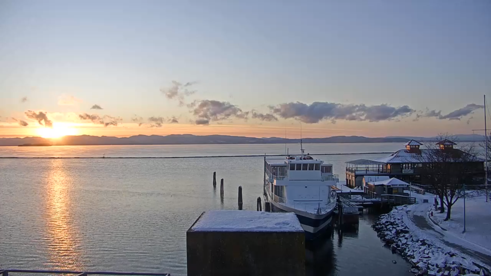
TONIGHT: Clear this evening, then some high cloudiness. Frigid. A low ranging 5 to 20 below. Light northwest winds.
Winter Weather Advisory 1 PM Saturday through late Sunday…
TOMORROW: Partial morning sun, then clouding up, leading to accumulating snow developing late. A high in the mid to upper teens. Light south winds.
SATURDAY NIGHT: Cloudy. Accumulating snow…moderate at times with about 3 to 7 new inches. An early low near 15, then rising temperatures into the 20s. Southeast winds 10 to 15 mph.
SUNDAY: Gray. Chance for significant snowfall…tapering to mountain snow showers valley flurries and blustery. Temperatures rising 32 to 35. Winds becoming westerly 10 mph.
Looking further ahead…
SUNDAY NIGHT: Considerable clouds with a stray flurry or two then clearing. A low in the single digits.
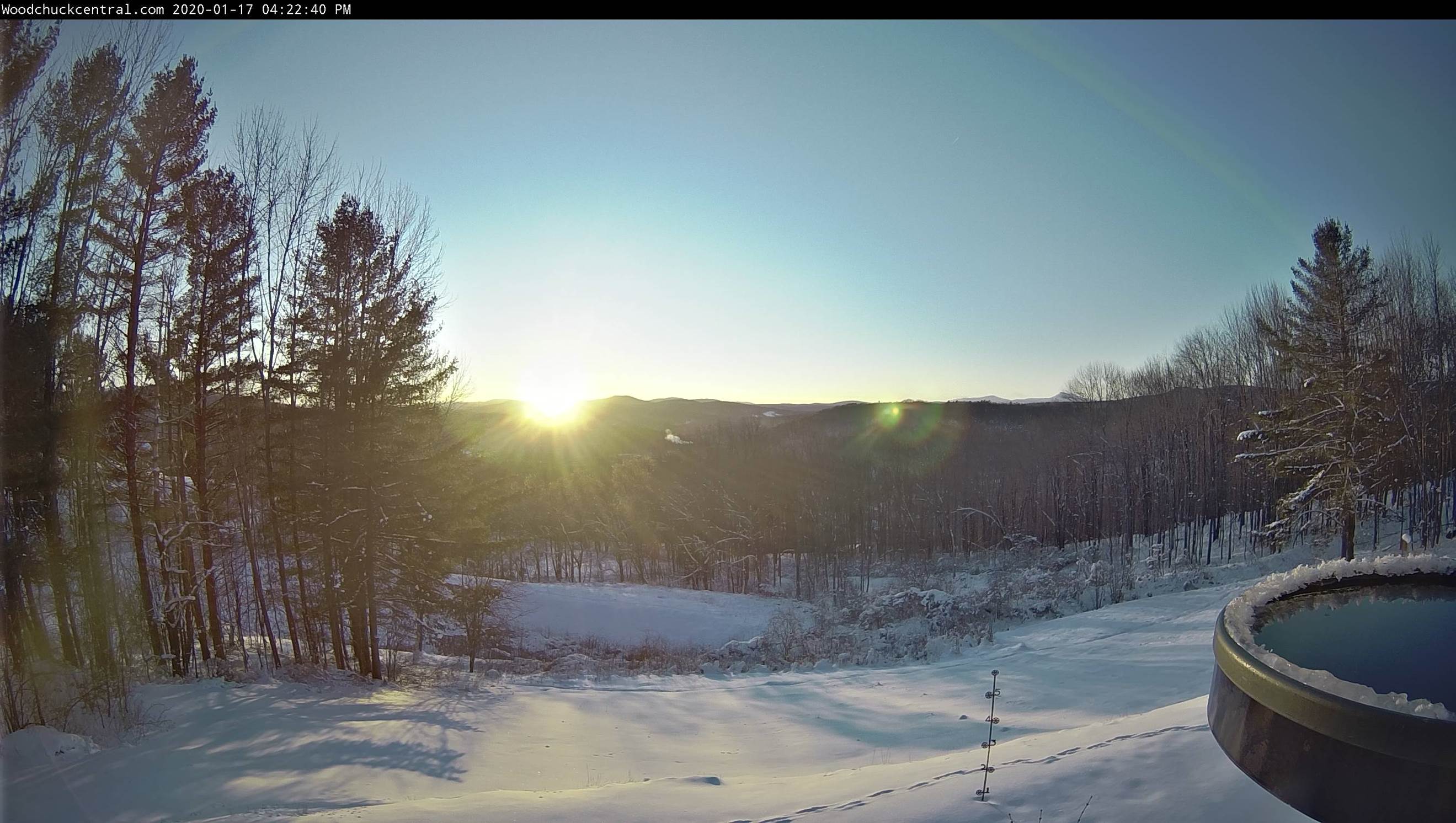
MONDAY MARTIN LUTHER KING JR. DAY: Mostly sunny. A high mid-teens.
TUESDAY: Filtered sunshine through high clouds. A low 10 to 15 below. A high 10 to 15 above.
WEDNESDAY: Mostly sunny continued dry. A low in the single digits. A high in the 20s.
Average lows mid-single digits to 10 above, average highs in the 20s.
RH/1-16-20[end]
