
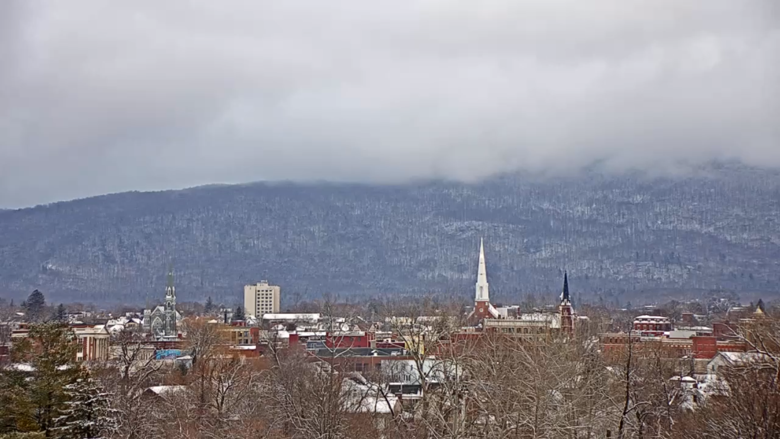
TONIGHT: Variable clouds. Scattered mountain snow showers and valley flurries with additional accumulation dusting to a couple inches mainly northern high terrain. A low in the upper teens. Light southwest winds.
TOMORROW: A flurry or two, then mixed sun and clouds before thicken up late. A high near 30. Westerly winds 10 mph diminishing in the afternoon.
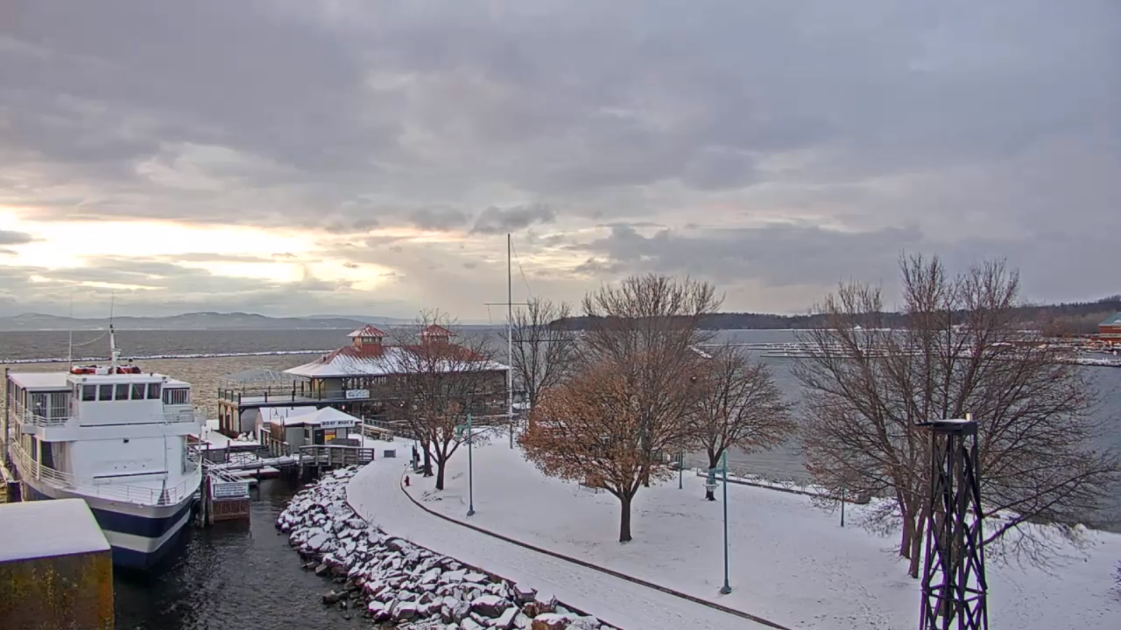
TUESDAY NIGHT: Cloudy. Slight chance for a flurry overnight. A low 15 to 20. Light south winds.
WEDNESDAY: Good chance for snow showers & turning blustery later in the afternoon with intervals of sun. A high around 30. West winds 10 to 15 mph.

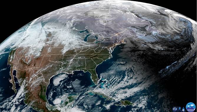
Looking further ahead…
WEDNESDAY NIGHT: Partly to mostly cloudy. Isolated flurries and “diamond dust”. A low 5 below to 5 above.
THURSDAY: Pick of the week. Mostly sunny but colder. A high around 20.
FRIDAY: Overcast. Chance for mixed precipitation with slick travel…changing to occasional light rain in the afternoon. A morning low around zero. A late day high pushing to near 40.
SATURDAY: Gray. Chance for rain or rain showers. A low 32 to 35. A high 45 to 50.
SUNDAY: Mixed precipitation with potentially poor travel. A low in the mid-20s. A high 35 to 40.
Average lows single digits to low teens, average highs in the 20s.
RH/1-6-20[end]
