
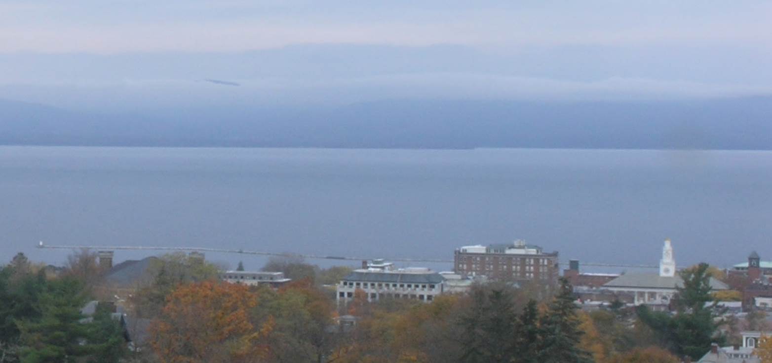
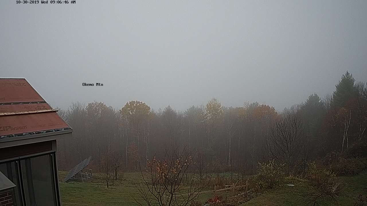
TODAY: Chance for a few sprinkles…areas of drizzle northern areas early. Otherwise clouds with a few breaks of afternoon sun. Milder with a high around 60. Light southwest winds.
TONIGHT: Breaks in the clouds, then turning overcast. Spotty drizzle. A low 50 to 55. Light southeast winds.
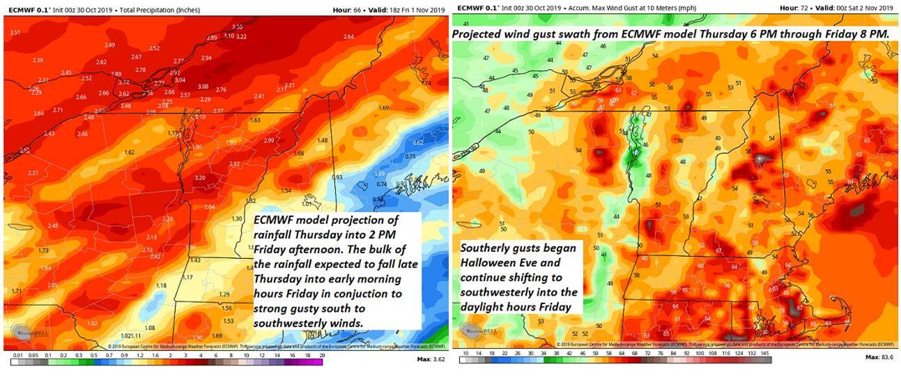
Flood Watch Thursday Afternoon through Friday Evening…
THURSDAY: Overcast. Intermittent light rain becoming moderate at times late in the day. A high in the low 60s. South to southeast winds 10 to 15 mph.
Looking further ahead…
HALLOWS EVE: Rainy and damp possibly moderate at times. Breezy at times. Temperatures in the mid to upper 50s Thursday evening.
THURSDAY NIGHT: Overcast. Periods of rain moderate to heavy at times. A low in the low 50s.
FRIDAY: Early morning rain likely…moderate at times exiting. Intervals of sunshine in the afternoon, windy and turning colder. Temperatures falling into the mid to upper 40s. Strong gusty southwesterly winds.
SATURDAY: Partly to mostly sunny but colder. A low in the upper 20s. A high mid-40s.
SUNDAY: Morning sun, then mostly cloudy. Scattered rain showers mixed with wet snow flakes high terrain. A low 25 to 30. A high around 45.
Average lows upper 20s to mid-30s. Average highs upper 40s to mid-50s.
RH/10-30-19[end]
