
TODAY: Morning fog burns off to lots of sunshine, then partly sunny this afternoon. Scattered showers mainly northern areas. Slight chance for a thunderstorm near the Quebec border. A high in the mid 70s. West to southwest breeze 10 mph.
TONIGHT: Partly cloudy, with more clouds northern areas. An occasional shower or two mainly northern areas. A low near 55. Light southwest winds.
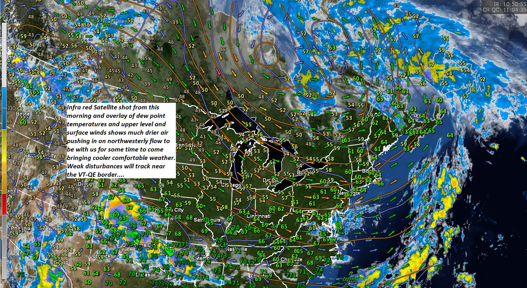
SATURDAY: Sunshine mixed with cloudy periods in the afternoon. Showers likely across northern areas exiting before dark. A bit cool with a high in the mid 60s. Cool northwest breeze 10 to 15 mph.
Looking further ahead…
SATURDAY NIGHT: Becoming mostly clear and cool. A low in the upper 40s to low 50s.
SUNDAY: Mostly sunny with a few afternoon clouds. A high 70 to 75.
MONDAY: Mixed clouds and sun. Maybe a shower or two far northern areas. A low in the mid 50s. A high 75 to 80.
TUESDAY: Partly to mostly cloudy. Widely scattered showers possible. Moderately humid. A low upper 50s to near 60. A high in the mid 70s.
WEDNESDAY: Considerable cloudiness. Chance for showers. Moderately humid. A low in the around 60. A high around 70.
Average lows ranging low 50s to near 60. Average highs mid 70s to around 80.

RH/8-9-19[end]
