
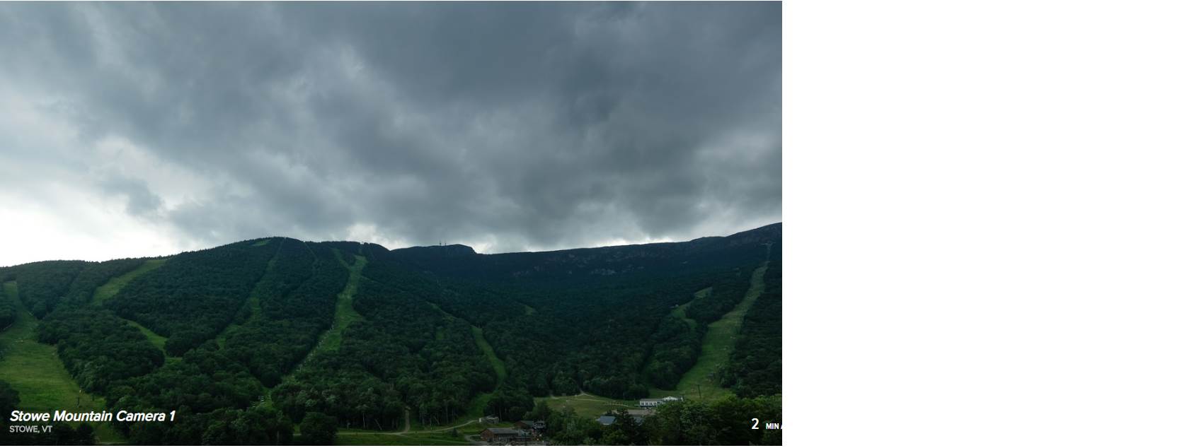
TONIGHT: Partly cloudy. Isolated evening thunderstorms. A low upper 60s to low 70s. Light southwest winds.
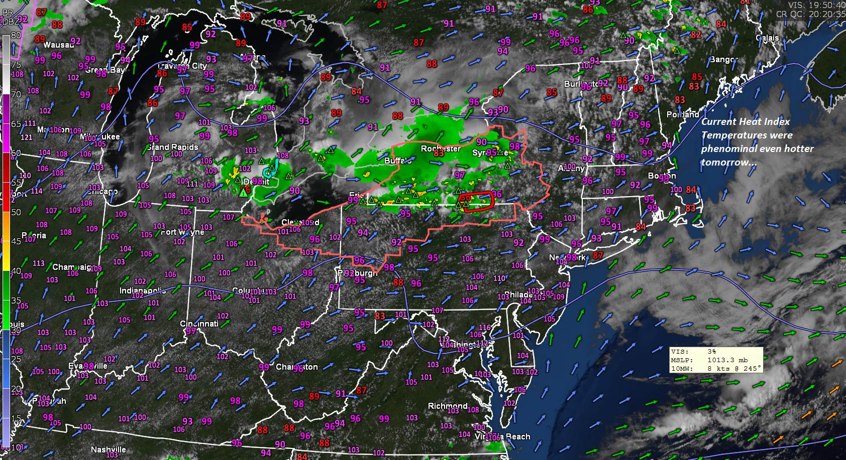
Heat Advisory Noon to 8 PM…
TOMORROW: Hazy hot and humid. A high in the low 90s with feels like temperatures upper 90s to around 100. Southwest breeze 10 mph.
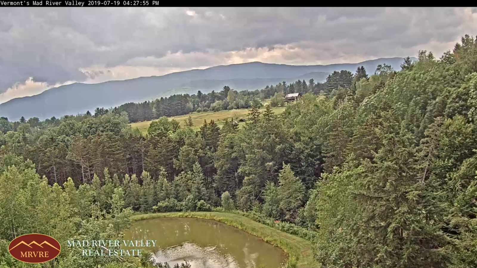
SATURDAY NIGHT: Variable clouds. Widely scattered thunderstorms possible in the evening…some could be briefly strong. Sultry. A low in the low 70s. Light south winds.
SUNDAY: Mixed clouds and sunshine. Widely scattered showers with a few late afternoon thunderstorms. Sultry. A high in the mid 80s. Feels like temperatures in the low 90s. West winds 10 to 15 mph.
Looking further ahead…
SUNDAY NIGHT: Partly cloudy. Widely scattered showers and thunderstorms early then exiting. A low 60 to 65.
Meteorological summer half way point peaks July 22nd…
MONDAY: More clouds than sunshine. Chance for showers and a few thunderstorms possible. A humid start with. A high mid to upper 70s.
TUESDAY: Partly sunny. Pleasant and comfortable. A low 55 to 60. A high around 75.
WEDNESDAY: Sunny & pleasant. A low 50 to 55. A high in the mid 70s.
Average lows upper 50s to mid 60s. Average highs upper 70s to mid 80s.
RH/7-18-19[end]
