
TONIGHT: An isolated sprinkle early…giving way to mostly clear and partially moonlit skies. A bit less humid. A low mid to upper 50s. Light west winds.
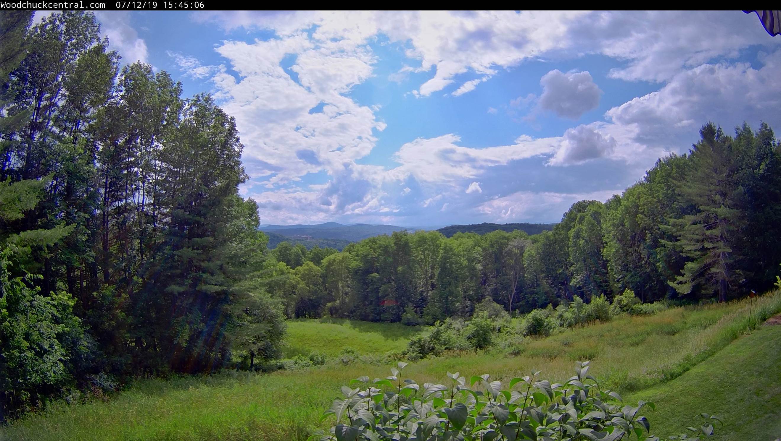
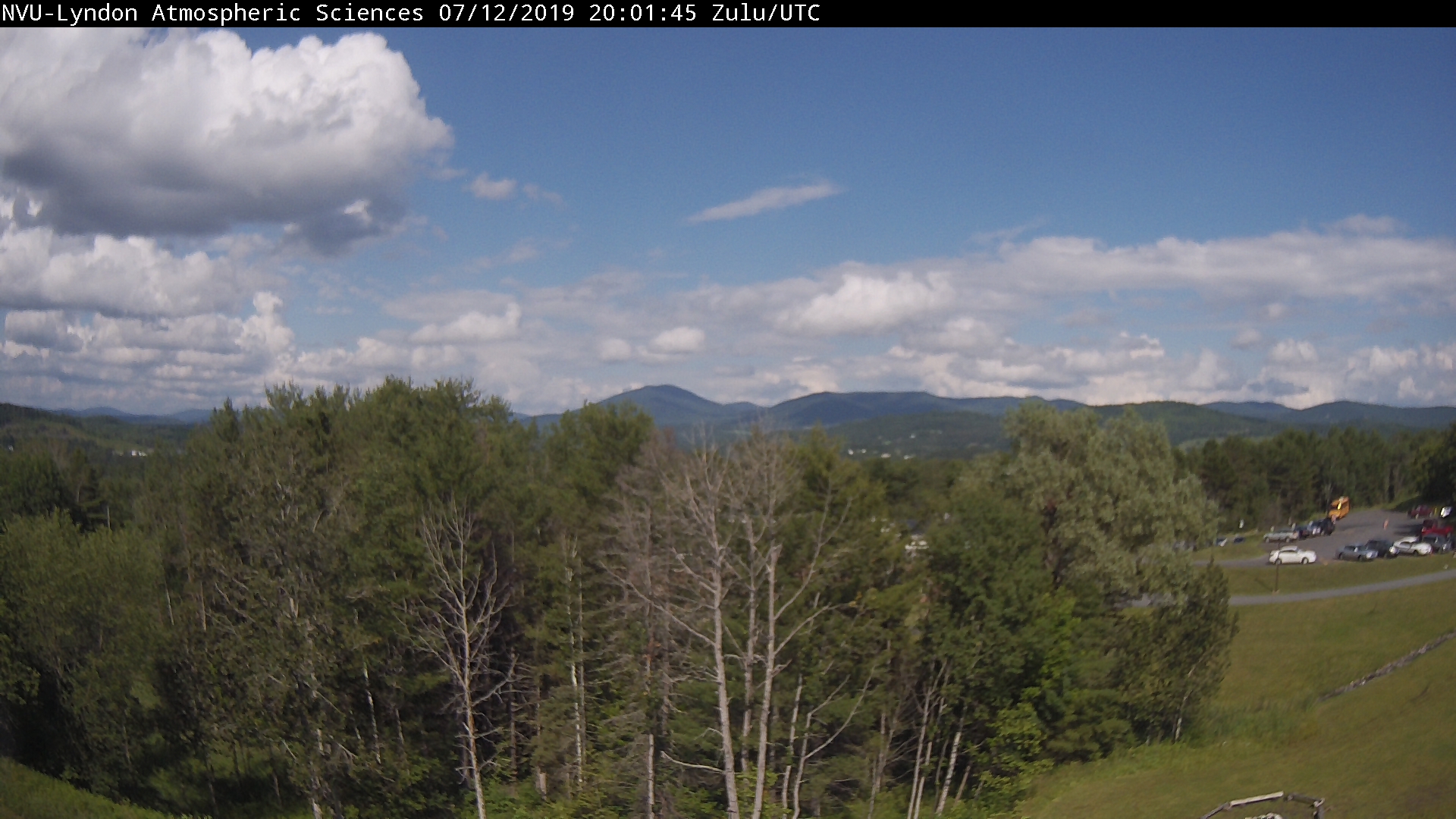
TOMORROW: Pick for the weekend. Mostly sunny, warm, moderately humid. A high 80 to 85. Light southwest winds.
SATURDAY NIGHT: Mostly clear early, then more clouds. A rising chance for showers toward daybreak. A low in the low 60s.
SUNDAY: Partly to mostly cloudy. Widely scattered showers. A high around 75. Northwest breeze 10 to 20 mph.
Looking further ahead…
SUNDAY NIGHT: Becoming mostly clear and partially moonlit. A low 50 to 55
MONDAY: Partly to mostly sunny. Pleasant and comfortable. A high in the upper 70s.
TUESDAY: Sunshine then thickening clouds. A rising chance for late afternoon shower or thunderstorm. A low mid to upper 50s. A high upper 70s to around 80.
Full Buck Moon at 5:39 PM Tuesday Evening
WEDNESDAY: Mixed sun and clouds. Warm and sticky. Widely scattered afternoon and evening showers & thunderstorms. A low near 65. A high in the mid 80s.
Average lows mid 50s to low 60s. Average highs upper 70s to low 80s.
Warmest 90 days of meteorological summer peaks July 22nd…
RH/7-12-19[end]
