
TONIGHT: Chance for a shower toward Rutland. Otherwise variably cloudy and moonlit. Patchy valley fog. A low in the low to mid 40s. Northwest winds 10 mph.
TOMORROW: Clouds with a few breaks of sunshine. Maybe a sprinkle near the Canadian border. A high upper 50s to around 60. Light northwest winds.
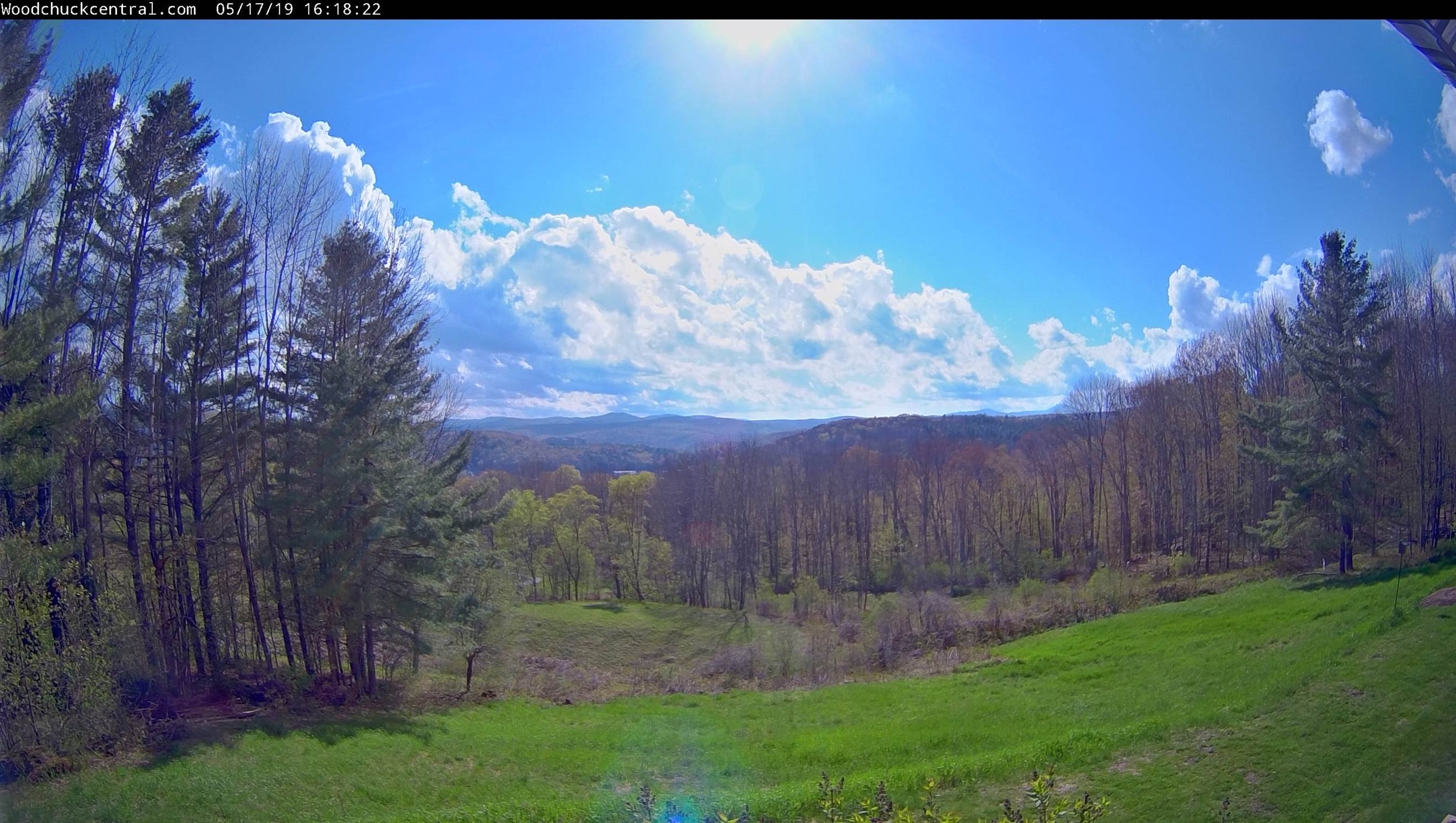
Full Flower Moon 5:11 PM Saturday evening
SATURDAY NIGHT: Considerable cloudiness. A rising chance for rain or showers toward daybreak. A low 45 to 50. Light east winds.
SUNDAY: Good chance for morning rain showers exiting. Intervals of afternoon sun with scattered showers and possible thunderstorms. Warmer than normal. A high near 75. South to southwest winds 10 to 15 mph.
Looking further ahead…
SUNDAY NIGHT: Partly cloudy. A bit humid with a low upper 50s to around 60.
MONDAY: Intervals of sunshine. Chance for showers…possibly a thunderstorm. A high in the low to mid 70s.
TUESDAY: Lots of clouds and much cooler with a chance for few mountain sprinkles. A low 45 to 50. A high in the mid 50s to low 60s.
WEDNESDAY: Morning sunshine becoming filtered by high cloudiness. A low 40 to 45. A high near 65.
Average lows in the 40s. Average highs mid 60s to near 70.

RH/5-17-19[end]
