
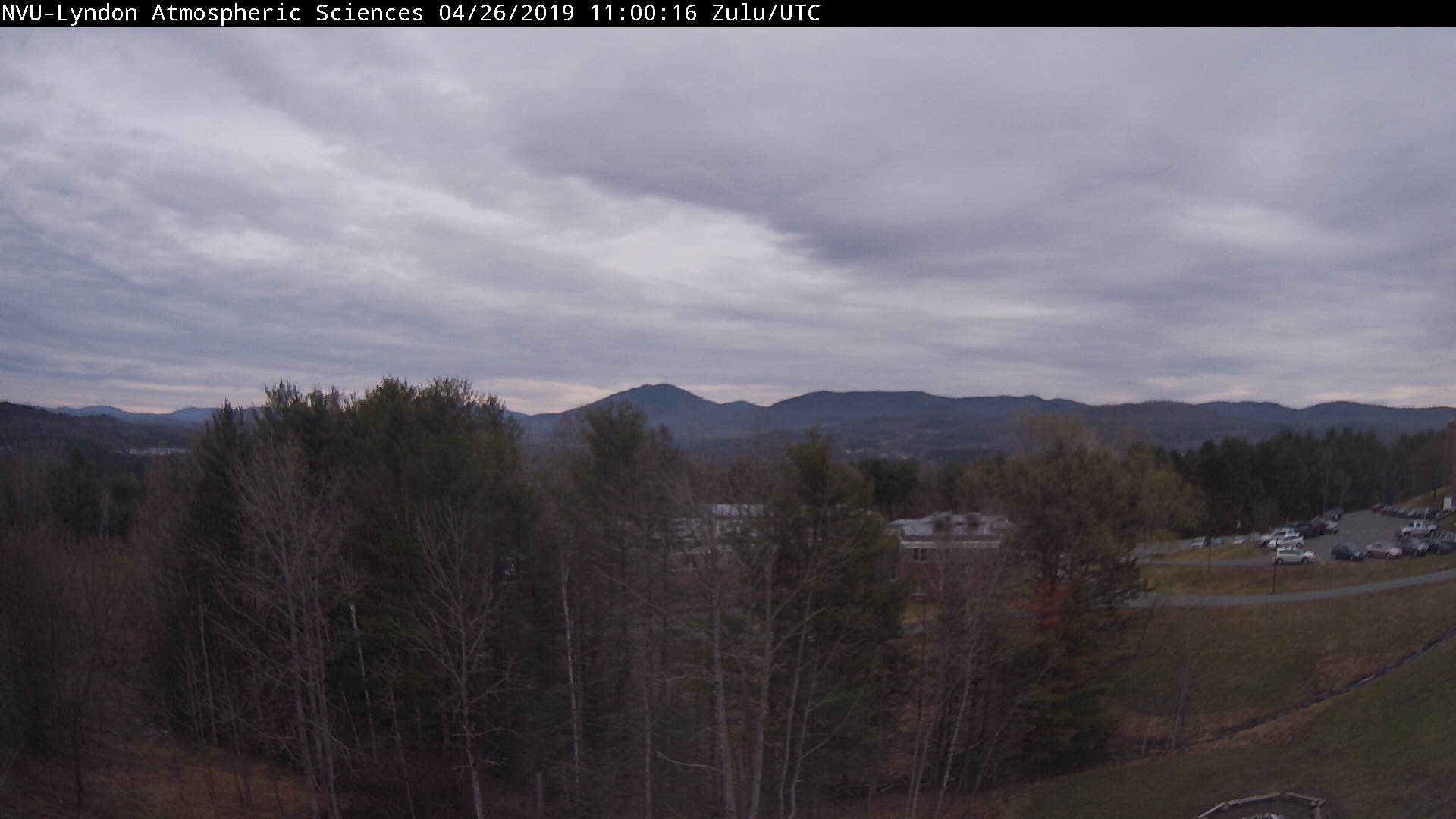
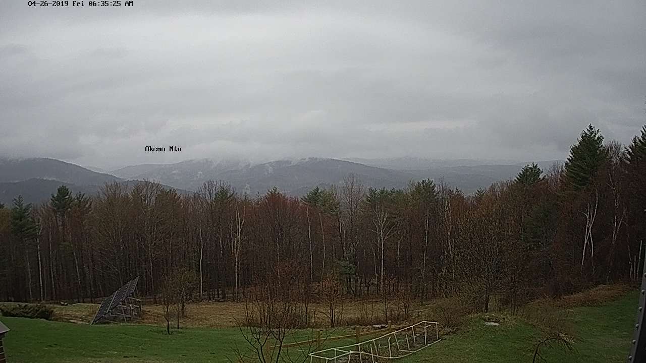
TODAY: Gray skies. Intermittent rain developing this morning. Damp and raw. A high in the upper 40s to low 50s. Southeast winds pick up this afternoon at 10 to 20 mph…stronger western slopes of the Greens.
TONIGHT: Periods of rain with areas of fog. A low upper 30s to lower 40s. Southeast winds 10 to 20 mph…strongest western slopes diminishing before…shifting to westerly later overnight.
SATURDAY: Gray. Rain showers…becoming scattered in the afternoon…mixing with accumulating wet snow Green Mountain summits. A high in the low to mid 40s. West winds 10 to 15 mph.
Looking further ahead…
SATURDAY NIGHT: Mostly cloudy. Scattered snow showers with accumulations of around an inch on grassy surfaces central and northern areas. A low 30 to 35.
SUNDAY: Variably cloudy. Scattered rain showers mixed with a few wet snowflakes toward southern areas. A high mid 40s to lower 50s.
MONDAY: Mostly sunny with some high cloudiness. A low mid 20s to near 32. A high mid 40s to low 50s.
TUESDAY: Overcast. Chance for rain and snow showers. A low 30 to 35. A high upper 30s to mid 40s.
WEDNESDAY: Partly sunny. A low around 30. A high in the low to mid 50s.
Average lows in the 30s. Average highs in the 50s.
RH/4-25-19[end]
