
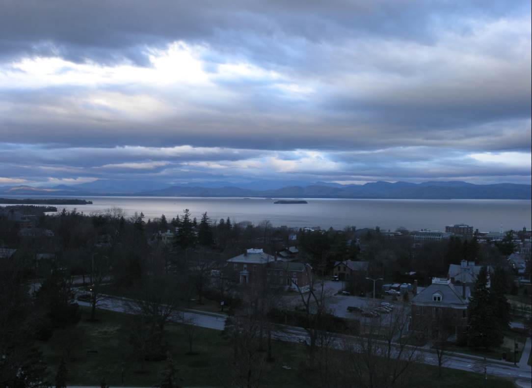
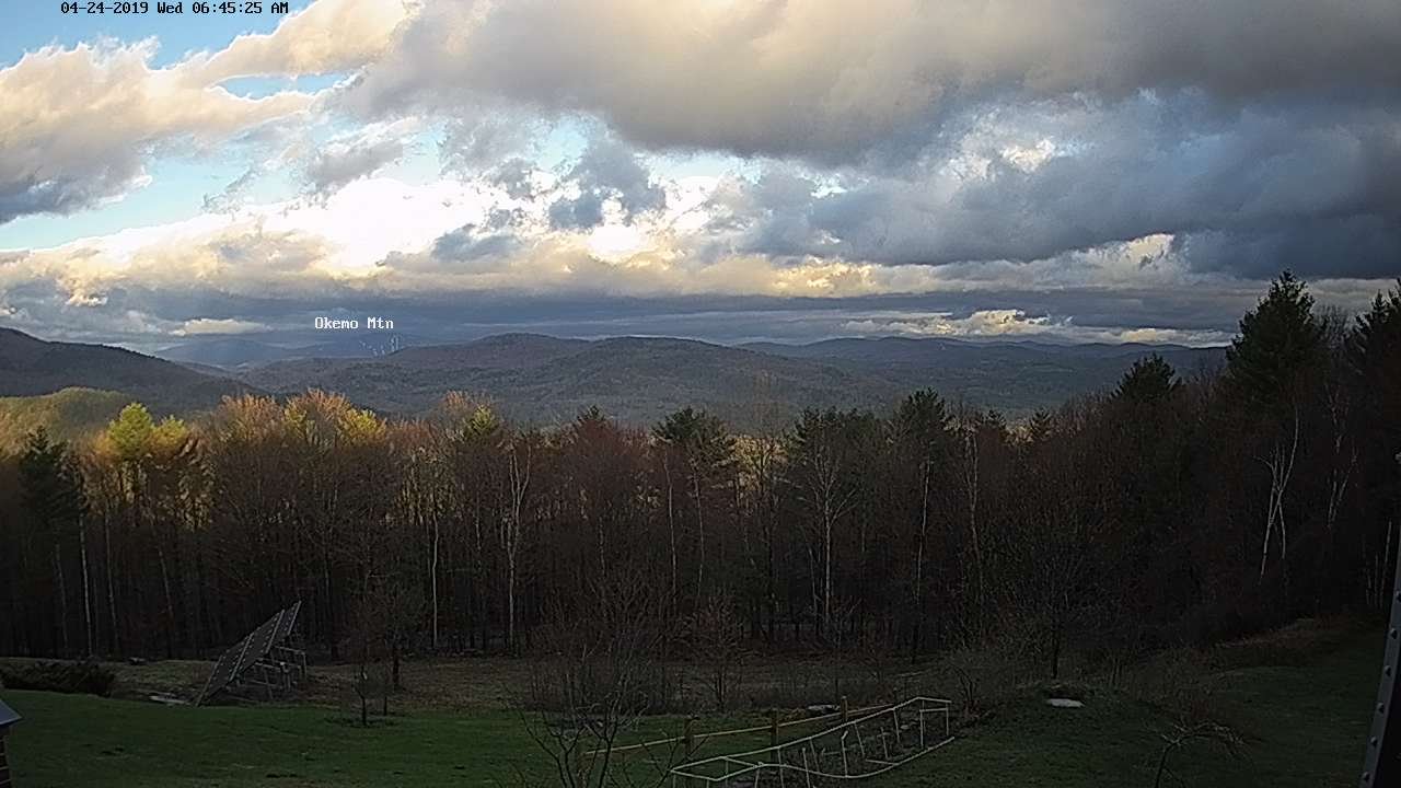
TODAY: Widely scattered showers Barre-Montpelier north, otherwise considerable cloudiness. Temperatures in the mid 40s to low 50s. West to northwesterly 10 to 15 mph.
TONIGHT: Evening sprinkles northern areas exiting to gradual clearing. Patchy valley fog with areas of frost. A low 30 to 35. Light northwest winds.
THURSDAY: Morning clouds northern areas, otherwise lots of sunshine. A high 55 to 60. Light northwest winds.
Looking further ahead…
THURSDAY NIGHT: Partly cloudy to mostly clear. Chilly. A low in the mid 30s to near 40.
FRIDAY: Gray with rain likely…moderate at times. A high in the 50s.
SATURDAY: Mainly cloudy, blustery and raw with lingering rain showers. A low in the around 40. A high mid to upper 40s.
SUNDAY: Mixed clouds and sun. Maybe an afternoon shower. A low around 30. A high 50 to 55.
MONDAY: Mostly sunny with some high cloudiness. Slightly milder. A low upper 20s to mid 30s. A high around 50.
Average lows in the 30s. Average highs in the 50s.
RH/4-24-19[end]
