
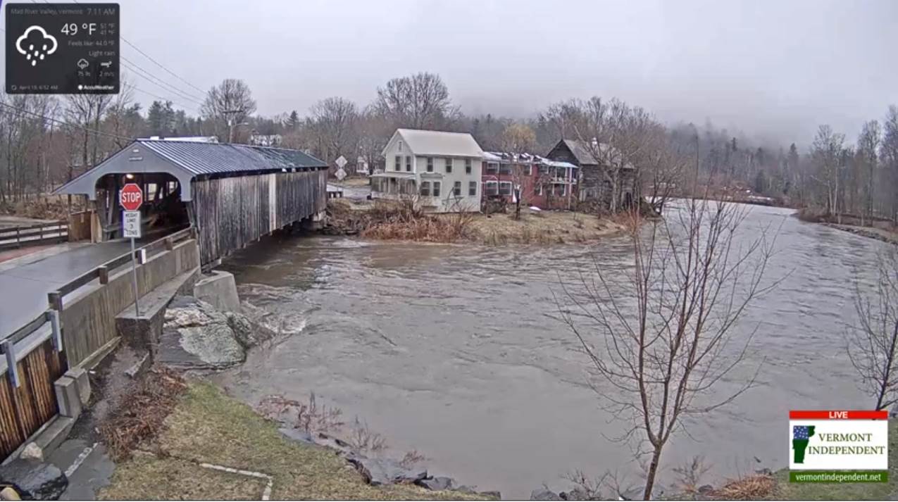
Flood Watch in effect through Tuesday morning…
TODAY: Clouds maybe a few breaks of sunshine with occasional rain showers…possibly moderate at times this morning. Watch for high water near local streams and rivers. A high in the mid 50s to around 60. Light southeast breeze, becoming westerly 10 to 20 mph.
TONIGHT: Scattered rain showers mixing with wet snow. “Sugar Snow” accumulations – a dusting some valley floors to an inch mountain summits. A low around 32. Northwest winds 10 to 25 mph and gusty.
TUESDAY: A few leftover morning flurries exiting to intervals of sunshine. A high mid 40s to lower 50s. Northwesterly winds 10 to 25 mph higher gusts.
Looking further ahead…
TUESDAY NIGHT: Mostly clear. A low upper 20s to mid 30s.
WEDNESDAY: Pick of the week with bright sunshine and blue skies. A high mid 40s to mid 50s warmest in the south.
THURSDAY: Lots of clouds. Rising chance for rain showers. A low mid 20s to low 30s. A high in the upper 40s to mid 50s.
FRIDAY: Mostly cloudy. Widely scattered showers. A low upper 30s to mid 40s. A high mid 60s to lower 70s.
Average lows in the 30s. Average highs in the low to mid 50s.
RH/4-15-19[end]
