
TODAY: More sunshine than clouds. A high in the upper 60s. Northwest breeze 10 mph.
TONIGHT: Mostly clear in the evening then considerable valley fog overnight. A low around 50. Light northeast winds.
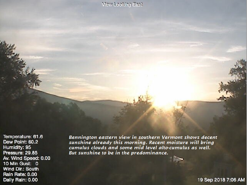
THURSDAY: Lots of clouds. Spotty drizzle eastern and southern areas in the morning, A high around 65. Southeast breeze 10 mph.
Looking further ahead…
THURSDAY NIGHT: Cloudy. Chance for showers developing with a risk for thunderstorms. A low around 55.
FRIDAY: Morning showers likely, with partial late afternoon clearing. Breezy to windy at times. A high around 70.
SATURDAY: Chance for showers early, then mostly sunny skies. Cooler & blustery. A low 50 to 55. A high near 60.
SUNDAY: Partly to mostly sunny. A low in the upper 30s to around 40. A high in the low 60s.
MONDAY: Patchy valley fog then mostly sunny. A risk for areas of morning frost. A low in the mid to upper 30s. A high in the upper 50s to around 60.
Average lows in the mid to upper 40s. Normal highs in the mid 60s to near 70.
RH/9-19-18[end]
| Virus-free. www.avast.com |
