
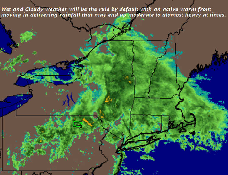
TONIGHT: Periods of rain or showers, possibly heavy at times across northern area after midnight. A low in the mid 50s. Southeast winds 10 to 15 mph.
TOMORROW: Mainly cloudy. Showers with a risk for a few rumbles of thunder. Start of a warming trend. A high in the mid 60s. Light south winds.
TUESDAY NIGHT: Partly to mostly cloudy. A few lingering showers toward southern areas. Patchy valley fog. A low upper 50s to low 60s. Light north winds.
WEDNESDAY: Considerable morning cloudiness giving way to breaks of sunshine. Slight chance for a mountain sprinkle. A high around 70. Little wind.
Looking further ahead…
WEDNESDAY NIGHT: Mainly cloudy. Slight chance for sprinkles or areas of drizzle. A low in the low 60s.
THURSDAY: Morning fog burns off to partial afternoon sunshine. A high in the mid 70s.
FRIDAY: Pick of the week. Morning fog then partly to mostly sunny skies. A low in the low 60s. A high near 80.
SATURDAY: Morning fog, then mostly sunny. A low in the lower 60s. A high around 80.
SUNDAY: Morning fog, then mostly sunny. A low around 60. A high around 80.
Average lows in the mid 40s to mid 50s. Normal highs in the upper 60s to mid 70s.
RH/9-10-18[end]
| Virus-free. www.avast.com |
