
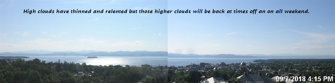
TONIGHT: Fair with patchy high cloudiness. A low in the low 50s. Light north winds.
TOMORROW: Morning fog then sunny with a few high clouds. Below normal temperature levels. A high 60 to 65. Northwest winds 10 to 15 mph.
Frost Advisory Northeast Kingdom cool spots Saturday night.
SATURDAY NIGHT: Fair and chilly with some high cloudiness at times. A low down to around 40. Light northeast winds.
SUNDAY: Filtered sunshine through high cloudiness. Clouding up late. Still cool. A high 60 to 65. Light northeast winds.
Looking further ahead…
SUNDAY NIGHT: Mostly fair in the evening then clouding up overnight. A low in the mid 40s to around 50.
MONDAY: Cloudy and gray. Good chance for showers moderate to heavy at times, with a risk for a few thunderstorms. A high in the low 60s.
TUESDAY: Chance for lingering showers, Otherwise mainly cloudy. A low upper 50s to around 60. A high in the mid 70s.
WEDNESDAY: Morning fog burns off to lots of sunshine. A low near 55. A high 70 to 75
THURSDAY: Variable cloudiness. A low in the 50s. A high pushing to near 80.
Average lows in the mid 40s to mid 50s. Normal highs in the upper 60s to mid 70s.
RH/9-7-18[end]
| Virus-free. www.avast.com |
