
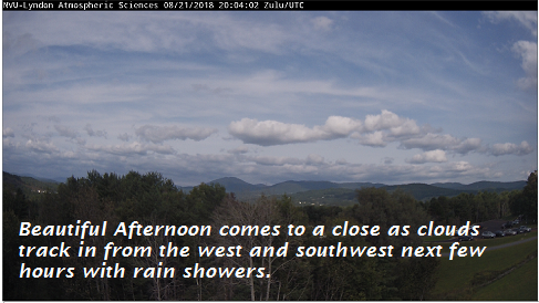
TONIGHT: Clouding up and turning muggy. A rising chance for showers beginning late this evening. A low 60 to 65. Southeast winds 10 to 15 mph.
TOMORROW: More clouds than sun and rather muggy. A good chance for showers and a few afternoon thunderstorms. A high in the mid 70s. Southwest breeze becoming northwesterly 10 to 15 mph.
WEDNESDAY NIGHT: Any early evening showers exiting then partially moonlit with patchy valley fog. A low near 55. West to northwest winds 10 mph.
THURSDAY: Partly to mostly sunny. A high around 70. Northwest breeze 10 to 15 mph.
Looking further ahead…
THURSDAY NIGHT: Clear and moonlit skies. Patchy valley fog. A low 50 to 55.
FRIDAY: Morning fog then tons of sunshine and warmer. A high in the low 80s.
SATURDAY: Mixed clouds and sun. A low 55 to 60. A high in the low 80s.
Full Sturgeon Moon Sunday 7:56 AM
SUNDAY: More clouds than sun. Slight chance for a shower or thunderstorm. A low near 60. A high in the low 80s.
MONDAY: Partly sunny & sticky. Chance for a shower or thunderstorm. A low 60 to 65. A high in the low 80s.
Average lows in the low to mid 50s. Normal highs in the mid to upper 70s.
RH/8-21-18[end]
| Virus-free. www.avast.com |
